
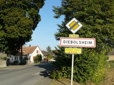
Diebolsheim, commune in Bas-Rhin, France
Location: Bas-Rhin
Location: arrondissement of Sélestat-Erstein
Elevation above the sea: 163 m
Shares border with: Bindernheim, Friesenheim, Rhinau, Sundhouse, Wittisheim
Phone: +33388748190
Email: mairie@diebolsheim.fr
Website: http://diebolsheim.fr
GPS coordinates: 48.29083,7.66361
Latest update: June 3, 2025 03:47
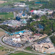
Europa-Park
4.9 km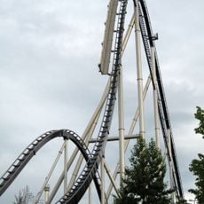
Silver Star
4.9 km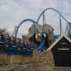
Blue Fire Megacoaster
5.1 km
Eurosat
5 km
Euro-Mir
5.1 km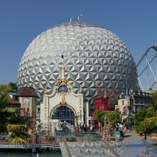
Eurosat - CanCan Coaster
5 km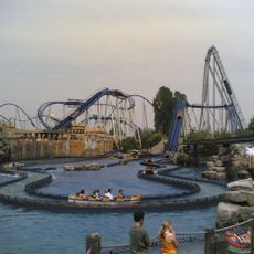
Poseidon
4.9 km
Taubergießen
4.4 km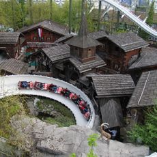
Schweizer Bobbahn
5.1 km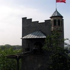
Matterhorn-Blitz
5 km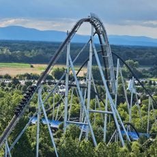
Silver Star
4.9 km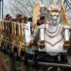
Pegasus
4.8 km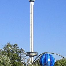
Euro-Tower
5.1 km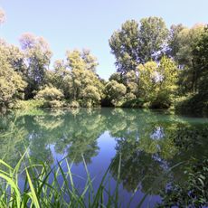
Réserve naturelle nationale de l'île de Rhinau
4.4 km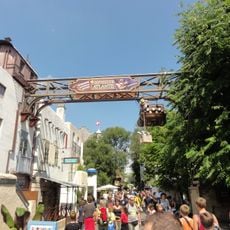
Abenteuer Atlantis
5 km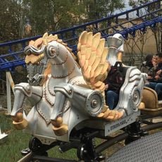
Pegasus
4.8 km
Usine List
4.6 km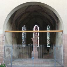
Église Saint-Michel de Rhinau
4.3 km
Educational farm
4.6 km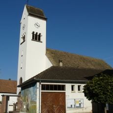
Église Saint-Boniface de Diebolsheim
98 m
Église Sainte-Anne de Neunkirch
3.1 km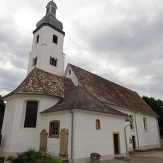
Église Notre-Dame de Neunkirch
3.1 km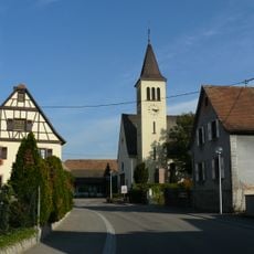
Église Saint-Sébastien de Witternheim
4.6 km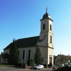
Église Saint-Ulrich de Bindernheim
3.9 km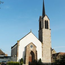
Église Saint-Nicolas de Friesenheim
2.1 km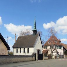
Chapelle de Zelsheim
1.8 km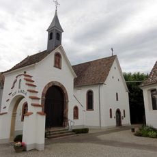
Chapelle des Saints-Auxiliateurs, Neunkirch
3.2 km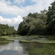
Rheinwald 'Taubergießen'
4.5 kmVisited this place? Tap the stars to rate it and share your experience / photos with the community! Try now! You can cancel it anytime.
Discover hidden gems everywhere you go!
From secret cafés to breathtaking viewpoints, skip the crowded tourist spots and find places that match your style. Our app makes it easy with voice search, smart filtering, route optimization, and insider tips from travelers worldwide. Download now for the complete mobile experience.

A unique approach to discovering new places❞
— Le Figaro
All the places worth exploring❞
— France Info
A tailor-made excursion in just a few clicks❞
— 20 Minutes