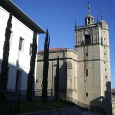
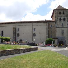
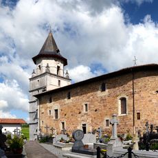
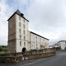
Bidasoa, Border river between Gipuzkoa, Navarre and Labourd regions
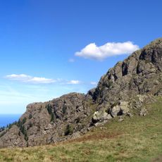
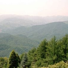
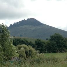
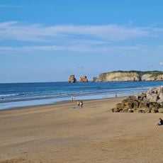
The Bidasoa is a river that winds for about 66 kilometers from Oronoz-Mugairi through northern Spain and forms the border between Spain and France in its lower section. The waterway flows through a landscape of green hills and eventually empties into Txingudi Bay, where it meets the sea.
The name comes from the Latin "Via ad Oiassonem", which referred to an ancient path connecting a Basque settlement to a coastal town. This historical connection shows how the river has long linked people and places across the region.
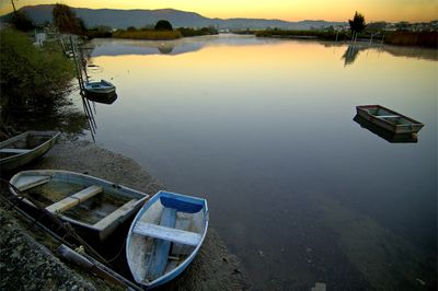
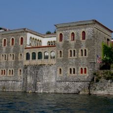
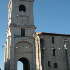
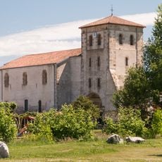
The river forms part of the Txingudi Bay wetlands, where Basque fishing communities on both sides have practiced their craft for generations. This heritage is still visible in how people use the waterway and care for the land around it.
The riverbanks can be accessed through a network of paths connecting Hondarribia, Irun, and Hendaye, with multiple viewing spots along the way. The best time to explore is during low tide, when additional areas of the coastal wetlands become accessible.
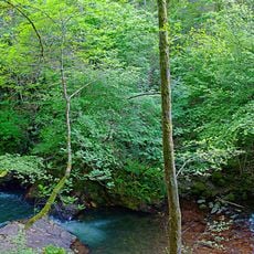
The area holds protected status under Natura 2000 and is home to salmon, trout, and endangered European eels. These rare species thrive here because the river system remains largely undisturbed by human activity.
The community of curious travelers
AroundUs brings together thousands of curated places, local tips, and hidden gems, enriched daily by 60,000 contributors worldwide.