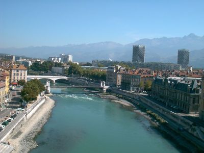
Isère, Alpine river in Savoie, France
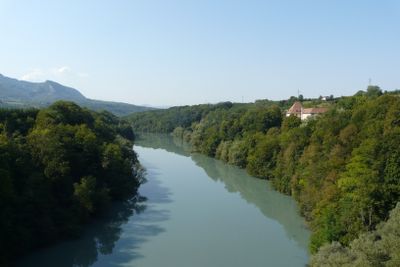
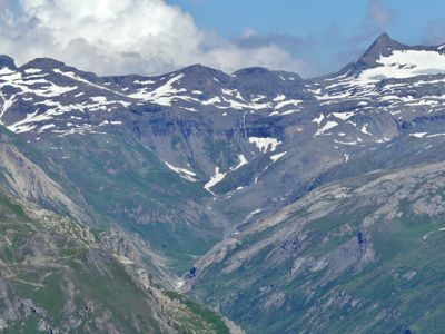
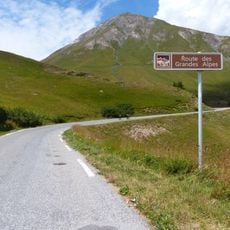
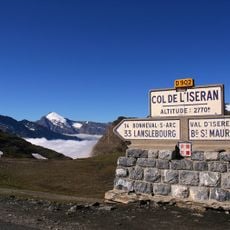
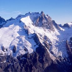
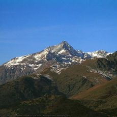
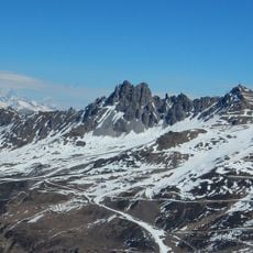
The Isère is a mountain river flowing through southeastern France across three regions, originating from glaciers in Vanoise National Park and eventually merging into the Rhône near Valence. Its course passes through various valleys and terrain types over its full length.
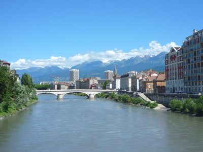
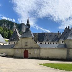
The river's name comes from ancient Indo-European roots and was known to the Romans as 'Isara,' reflecting the swift nature of water flowing through mountain valleys. Human settlements have existed along its banks since ancient times, using it as a key route for movement and trade.
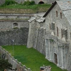
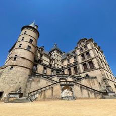
The river has shaped settlement patterns across the regions it passes through, creating communities that depend on its resources and follow its course. People use its waters for agriculture and daily activities, making it a central landmark in how local life is organized.
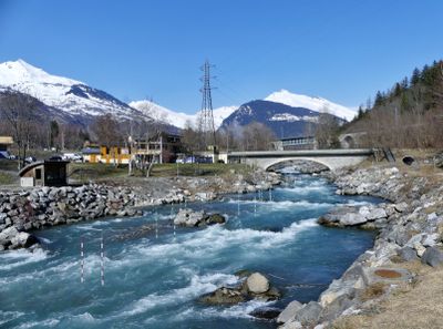
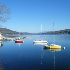
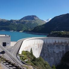
Kayaking and fishing are available in designated areas along the river, allowing visitors to access the water in specific locations. Multiple dams along the course affect water flow and can influence conditions for these recreational activities.
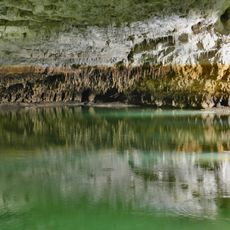
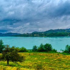
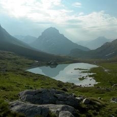
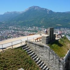
Rather than expanding outward, the river carved deep into its lower valley bed, creating distinctive stepped terraces visible along the landscape. This geological process has left unusual formations that shape how the terrain appears to travelers who notice them.
The community of curious travelers
AroundUs brings together thousands of curated places, local tips, and hidden gems, enriched daily by 60,000 contributors worldwide.