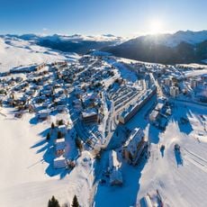
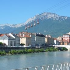
Belledonne, Mountain range in Isère, France
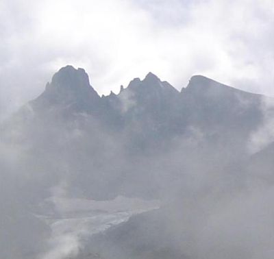
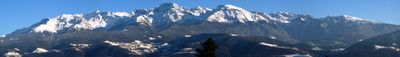
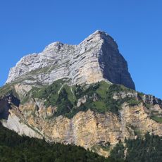
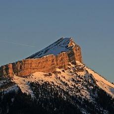
Belledonne is a mountain range in the Alps with steep eastern slopes and a broader western side. The rock is metamorphic and was shaped over millions of years by tectonic forces, creating its distinctive appearance.
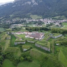
The range formed through alpine folding millions of years ago when tectonic plates collided and pushed rock upward. In the 1800s, its flowing water attracted people who built factories and mining operations.
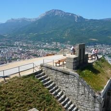
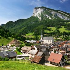
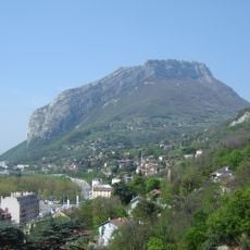
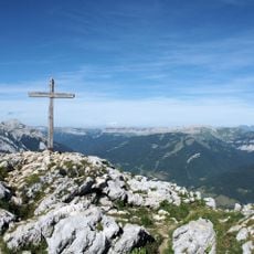
The name Belledonne means "beautiful woman" and refers to the distinctive peaks that dominate the valley landscape. Walkers along the routes notice how the mountain forest transitions into steep meadows that define the scenery.
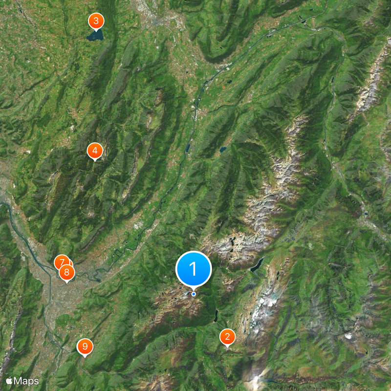
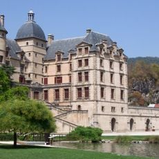
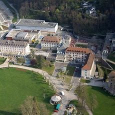
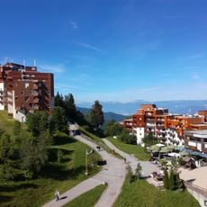
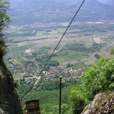
Access is best from valley towns like Allevard or Saint-Pierre-de-Chartreuse, where several marked trails begin. The best time to hike is from June to September when snow melts and paths are passable.
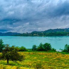
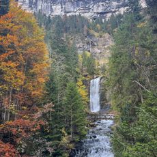
The range has no through roads, making it accessible only to hikers, and contains over 70 alpine lakes scattered across the terrain. These lakes serve as water sources and create stopping points where walkers can pause and observe the surroundings.
The community of curious travelers
AroundUs brings together thousands of curated places, local tips, and hidden gems, enriched daily by 60,000 contributors worldwide.