Chartreuse Mountains, Mountain range in Isère, France
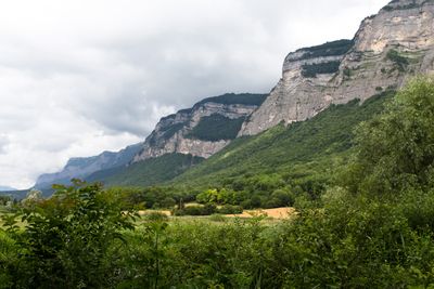
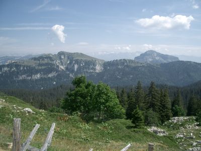
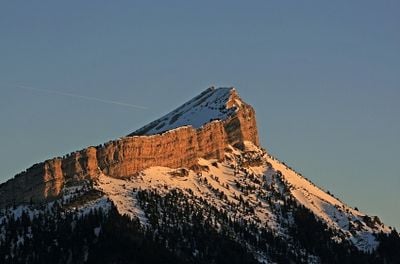
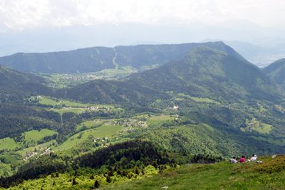
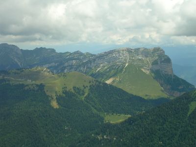
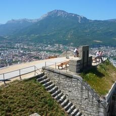
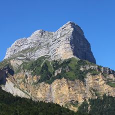
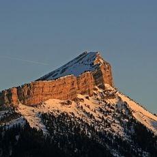
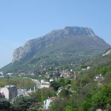
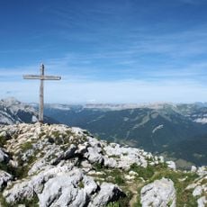
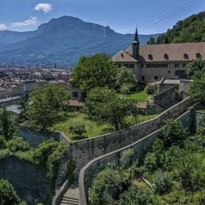
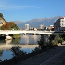
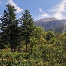
The Chartreuse Mountains form a range between Grenoble and Lac du Bourget, characterized by limestone formations with peaks rising to 2,082 meters. The ridges display steep limestone cliffs and deep valleys shaped by erosion of the sedimentary rock.
These mountains formed through limestone deposition over millions of years, shaped by their sedimentary geology. A major landslide at Mont Granier in 1248 dramatically altered the western section and left visible scars across the terrain.
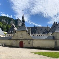
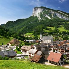
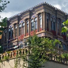
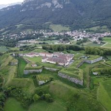
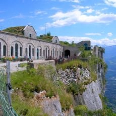
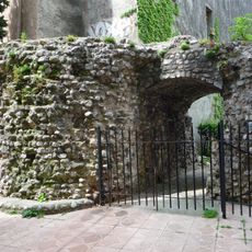
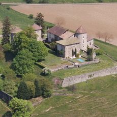
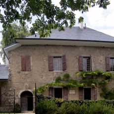
The Grande Chartreuse monastery shapes life in these mountains through its centuries-old liqueur production, with green and yellow varieties that reflect the region's identity. The monks maintain their craft traditions visibly through the monastery and related facilities scattered across the landscape.
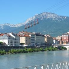
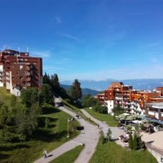
The mountains offer year-round marked trails connecting various summits, with main access points near Grenoble and Chambéry. Visitors should prepare for changeable weather and bring proper equipment for mountain conditions.
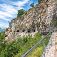
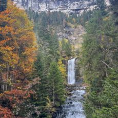
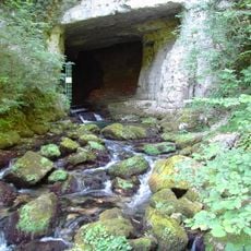
Beneath the limestone cliffs lies one of Europe's longest cave systems, the Dent de Crolles network, extending 60 kilometers through the rock. This underground labyrinth contains subterranean lakes, rivers, and canyons that continue to captivate geologists and cavers.
Location: Isère
Elevation above the sea: 2,082 m
Made from material: sedimentary rock
Part of: Savoy Prealps
Address: Chartreuse Mountains, 73670 Saint-Pierre-d'Entremont, France
GPS coordinates: 45.35000,5.83333
Latest update: December 14, 2025 20:23
Grenoble sits in the Isère River valley, surrounded by three mountain ranges in the French Alps. The city combines alpine landscape with urban infrastructure and serves as a base for exploring the surrounding mountain regions. The Fort de la Bastille, accessible via a historic cable car, provides...
Lac d'Aiguebelette
22.7 km
Grande Chartreuse
3.4 km
Museum of Grenoble
19 km
Bastille
18.8 km
Grenoble-Bastille Cable Car
19.4 km
Château de Chambéry
24.8 km
Dent de Crolles
5 km
Cirque de Saint-Même
6.5 km
Les sept Laux
16.3 km
Chartreuse Regional Natural Park
5.2 km
Chamechaude
7.8 km
Néron
16.1 km
Casamaures
18.9 km
Grenoble Cathedral
19.2 km
Charmant Som
6.1 km
Fort Barraux
15.4 km
Funiculaire de Saint-Hilaire du Touvet
7.1 km
Fort du Saint-Eynard
13.9 km
Cularo
19.5 km
Château Bayard
16.7 km
Musée dauphinois
19.1 km
Cuves de Sassenage
21.2 km
Pont de la Porte de France
19.6 km
Les Charmettes
23.8 km
Gratianopolis
19.3 km
Sanctuaire Notre-Dame de Myans
21.9 km
Garage hélicoïdal de Grenoble
19.6 km
La Grande Sure
10.3 kmVisited this place? Tap the stars to rate it and share your experience / photos with the community! Try now! You can cancel it anytime.
Discover hidden gems everywhere you go!
From secret cafés to breathtaking viewpoints, skip the crowded tourist spots and find places that match your style. Our app makes it easy with voice search, smart filtering, route optimization, and insider tips from travelers worldwide. Download now for the complete mobile experience.
A unique approach to discovering new places❞
— Le Figaro
All the places worth exploring❞
— France Info
A tailor-made excursion in just a few clicks❞
— 20 Minutes