
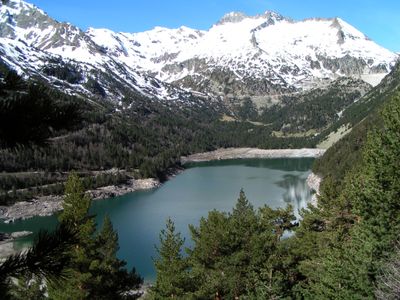
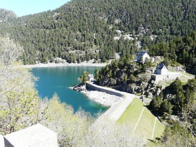
Lac d'Orédon, Artificial reservoir in Hautes-Pyrénées, France
Lake Orédon covers an area of 0.46 square kilometers at an elevation of 1849 meters in the mountains of Hautes-Pyrénées.
Built in 1880, this reservoir became one of the first large artificial lakes in France, created to regulate water resources in the region.
The Orédon refuge, initially built to house engineers during dam construction, now welcomes hikers and naturalists throughout the summer season.
The lake enables hydroelectric power generation, irrigation of agricultural lands, and supplies drinking water to surrounding municipalities.
The waters of the lake flow from Lake Cap-de-Long and discharge into the Neste River, forming an interconnected hydraulic system.
Location: Hautes-Pyrénées
Inception: January 1, 1880
Elevation above the sea: 1,849 m
Operator: SHEM
Address: Lac d'Orédon, 65170 Aragnouet, France
GPS coordinates: 42.82556,0.16194
Latest update: July 1, 2025 15:19

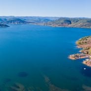
Occitanie hosts a wide variety of lakes spread between the Pyrenees and the Massif Central. Natural lakes mainly occupy high-altitude zones in the Pyrenees, where glacial erosion has carved out cirques and basins now filled with water. Lake Oô, located at 4,950 feet (1,507 meters) altitude, receives water from a 984-foot (300-meter) waterfall descending from Lake Espingo. The Bastan lakes form a series of three linked water bodies between 7,217 and 8,202 feet (2,200 and 2,500 meters) near Barèges, while Lake Bethmale, at 3,498 feet (1,065 meters) in Couserans, is surrounded by beech forests. Artificial lakes in the region serve various functions, including water storage, hydroelectric power, and recreational activities. Lake Salagou, created in 1969 in Herault, stands out for its distinctive geological setting: red rocks rich in iron give the landscape a reddish-brown hue. Lake Pareloup, covering about 3,485 acres (1,410 hectares) in Aveyron, is one of the largest reservoirs in the area. Lake Saint-Ferréol, built in the 17th century at the foot of the Black Mountain, supplies the Canal du Midi and demonstrates historic hydraulic engineering. These lakes offer opportunities for hiking, sailing, and windsurfing, especially at Lake Ganguise where the wind blows roughly 300 days per year.
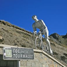
Col du Tourmalet
9.3 km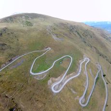
Col de Portet
6.1 km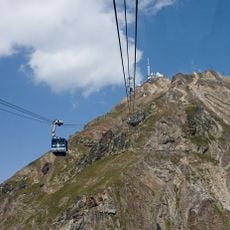
Téléphérique du pic du Midi de Bigorre
9.5 km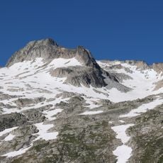
Pic de Néouvielle
4 km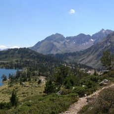
Lac d'Aumar
2.2 km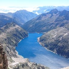
Lac de Cap-de-Long
2.6 km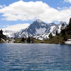
Pic de Bugatet
2.4 km
Le Géant
9.3 km
Campbieil
5.1 km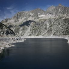
Turon de Néouvielle
4.4 km
Pic Ramougn
3.6 km
Chapelle des Templiers d'Aragnouet
5.7 km
Jardin botanique du Tourmalet
9.3 km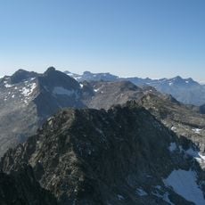
Trois Conseillers
4.1 km
Pic de Bastan
5.5 km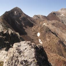
Estaragne
4.1 km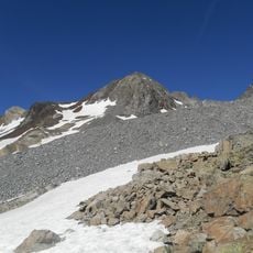
Pic Badet
5.6 km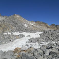
Pic Maubic
5.4 km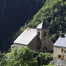
Église Saint-Pierre-aux-Liens d'Éget
9.5 km
Lenquo de Capo
6.6 km
Pic Maou
5.8 km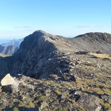
Pic de Crabounouse
6.5 km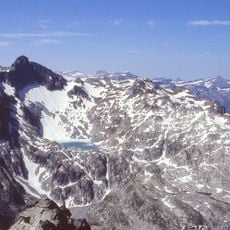
Agulla Tourrat
5.1 km
Agulla Badet
5.7 km
Punta Reboul Vidal
4.4 km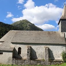
Église Saint-Pierre-aux-Liens
6 km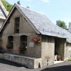
Chapelle-lavoir du Plan
5.5 km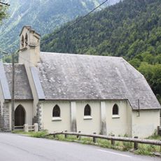
Chapelle Saint-Pierre-aux-Liens de Fabian
7 kmReviews
Visited this place? Tap the stars to rate it and share your experience / photos with the community! Try now! You can cancel it anytime.
Discover hidden gems everywhere you go!
From secret cafés to breathtaking viewpoints, skip the crowded tourist spots and find places that match your style. Our app makes it easy with voice search, smart filtering, route optimization, and insider tips from travelers worldwide. Download now for the complete mobile experience.

A unique approach to discovering new places❞
— Le Figaro
All the places worth exploring❞
— France Info
A tailor-made excursion in just a few clicks❞
— 20 Minutes