Enable Location

We need your location to show you interesting places around you

Discover nearby places

Find interesting locations and hidden gems around you

Precise directions

Get accurate directions and distances to places

Your location is never shared with other users. It's only used when you tap the location button.

Bengaluru Rural district

Log in to your account

Start exploring — it's free

Trusted by 61,640 travelers worldwide

Continue with Google
Continue with Apple
or

We will send you a code to connect

By continuing, you accept our Terms and Conditions and our Privacy Policy

Check your inbox

We've sent a pincode in your inbox. Please enter the code below.

Bengaluru Rural district

Bengaluru Rural district, Administrative district in Karnataka, India

Description

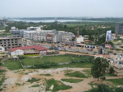
Bengaluru Rural district is an administrative division in Karnataka state, India, encircling the state capital. The territory covers four talukas named Devanahalli, Nelamangala, Doddaballapura, and Hoskote, along with 294 villages and several municipal councils.

History

In 1986, the original Bangalore district split into two new administrative units: the urban district and this rural district. The division aimed to manage the growing city and its surrounding countryside separately.

Culture

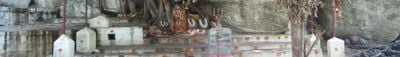
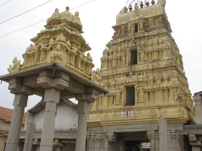
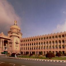
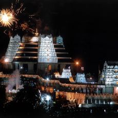
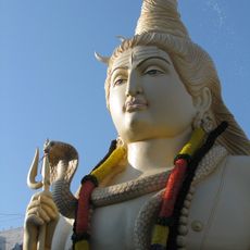
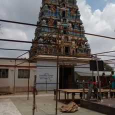
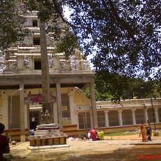
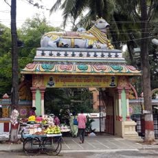
The name derives directly from Bangalore and designates the rural areas surrounding the metropolis. Travelers passing through see temples and mosques in small settlements that serve as meeting points and shape the daily life of local communities.

Practical

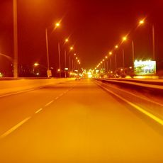
Buses and trains link the towns together and run regularly toward Bangalore city, where commuters arrive and transfer. Travelers crossing the region find smaller stops along main roads and should expect longer travel times.

Did you know?

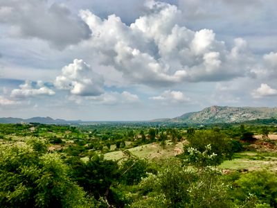
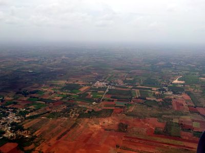
Kempegowda International Airport sits within these rural district boundaries and draws travelers from many countries. Just a few kilometers away, grain fields still grow where farmers harvest millet and sugarcane.

Capital city
Bengaluru
Shares border with
Chikkaballapura district, Krishnagiri district, Ramanagara district
GPS coordinates
13.22567,77.57501
Latest update
December 13, 2025 19:26

AroundUs brings together thousands of curated places, local tips, and hidden gems, enriched daily by 60,000 contributors worldwide. Discover all places nearby (Bangalore division).

« Bengaluru Rural district - Administrative district in Karnataka, India » is provided by Around Us (aroundus.com). Images and texts are derived from Wikimedia project under a Creative Commons license. You are allowed to copy, distribute, and modify copies of this page, under the conditions set by the license, as long as this note is clearly visible.

Discover hidden gems everywhere you go!

From secret cafés to breathtaking viewpoints, skip the crowded tourist spots and find places that match your style. Our app makes it easy with voice search, smart filtering, route optimization, and insider tips from travelers worldwide. Download now for the complete mobile experience.

Around Us App Screenshot

A unique approach to discovering new places

Le Figaro

All the places worth exploring

France Info

A tailor-made excursion in just a few clicks

20 Minutes

Around Us
Travel Guide & Maps
Download

Send to your phone

QR Code
1

Open the camera app on your mobile.

2

Point at the QR code with your camera. A notification will appear.

3

Tap the notification to open the link.