Belagavi district, Administrative district in Karnataka, India
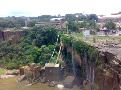
Belagavi district is an administrative region in Karnataka with a landscape shaped by rivers that form its natural boundaries and fertile black soil across the terrain. The area divides into several administrative zones and includes hundreds of settlements, each contributing to the region's character.
The district was established in 1836 and underwent several administrative reorganizations across different governing periods, each shaping how communities developed and connected. These changes left marks on how the region operates today.
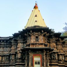
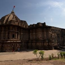
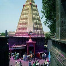
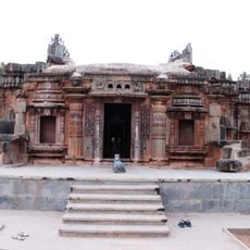
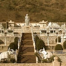
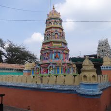
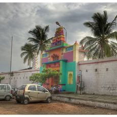
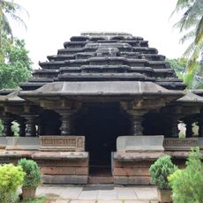
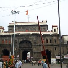
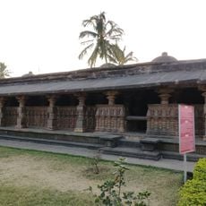
The area holds several temples that anchor local spiritual life and draw pilgrims throughout the year, shaping how communities gather and celebrate important occasions together.
The district operates through several administrative zones connecting various towns and rural areas across the landscape. Roads link these centers, though conditions vary, and visitors should prepare for a mix of urban and village settings.
The district stands out as Karnataka's leading producer of lentils, a crop that dominates local agriculture and feeds much of the region's economy. The area also has deposits of a specific stone used for local construction and trade.
Location: Belgaum division
Inception: 1836
Capital city: Belgaum
Shares border with: Sangli district, Gadag district
Website: http://belgaum.nic.in
GPS coordinates: 15.85000,74.55000
Latest update: December 23, 2025 10:29
Mahalakshmi Temple
100.5 km
Panhala Fort
116.7 km
Kopeshwar temple
95.7 km
Yellamma Temple, Saundatti
66.2 km
Jyotiba
100.5 km
Bhagwan Mahaveer Sanctuary and Mollem National Park
61.5 km
Gokak Falls
45.1 km
Mahadev Temple, Tambdi Surla
55.8 km
Bondla Wildlife Sanctuary
66.4 km
New Palace, Kolhapur
102.5 km
Dandeli Wildlife Sanctuary
41.8 km
Mhadei Wildlife Sanctuary
51.1 km
Chandramouleshwara Temple, Unkal
80.4 km
Belgaum Fort
45.8 km
Chorla Ghat
50.7 km
Kumbhoj
108.7 km
Veerbhadra Temple
80.5 km
Shri Kalika Devi Temple
75 kmGodchinamalaki Falls
36.9 km
Kamal Basadi
3.2 km
Kittur Fort
37.9 kmNuggikeri
68.9 kmVajrapoha Falls
34.3 km
Bhavani Mandap
100.3 kmBanashankari Temple, Amargol
76.4 kmYadahalli Chinkara Wildlife Sanctuary
112.7 km
Kamala Narayana Temple, Degaon
37.9 km
Rajarshi Shahu Stadium
99.9 kmVisited this place? Tap the stars to rate it and share your experience / photos with the community! Try now! You can cancel it anytime.
Discover hidden gems everywhere you go!
From secret cafés to breathtaking viewpoints, skip the crowded tourist spots and find places that match your style. Our app makes it easy with voice search, smart filtering, route optimization, and insider tips from travelers worldwide. Download now for the complete mobile experience.
A unique approach to discovering new places❞
— Le Figaro
All the places worth exploring❞
— France Info
A tailor-made excursion in just a few clicks❞
— 20 Minutes