Enable Location

We need your location to show you interesting places around you

Discover nearby places

Find interesting locations and hidden gems around you

Precise directions

Get accurate directions and distances to places

Your location is never shared with other users. It's only used when you tap the location button.

Murshidabad district

Log in to your account

Start exploring — it's free

Trusted by 61,953 travelers worldwide

Continue with Google
Continue with Apple
or

We will send you a code to connect

By continuing, you accept our Terms and Conditions and our Privacy Policy

Check your inbox

We've sent a pincode in your inbox. Please enter the code below.

Murshidabad district

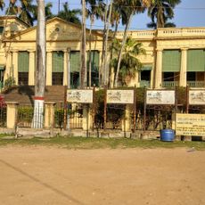
Murshidabad district, Administrative district in West Bengal, India

Murshidabad district is an administrative division in West Bengal that runs alongside the Bhagirathi River and includes several subdivisions. Berhampore serves as the headquarters of this sprawling rural zone with numerous villages and small towns.

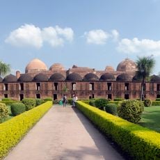
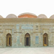
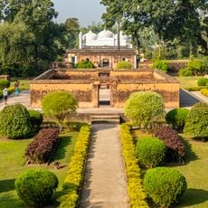
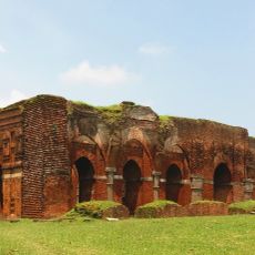
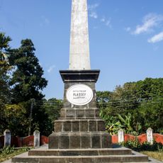
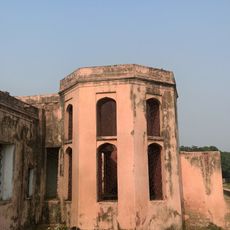
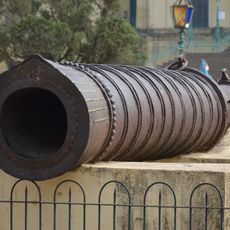
Until 1757 this region was home to the Bengali Nawabs and center of political power in eastern India. The Battle of Plassey shifted influence to Calcutta and ended the era of independent rule.

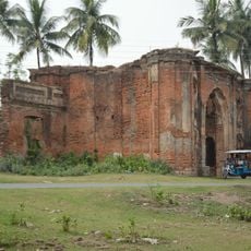
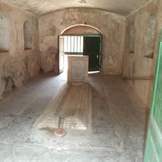
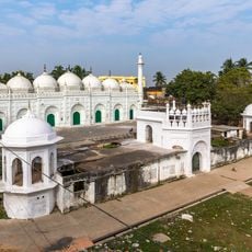
This territory takes its name from the former seat of the Nawabs and still preserves local craftsmanship in small workshops and family businesses today. Many residents maintain old skills such as weaving and pottery, which can be observed in markets and villages throughout the area.

Travelers reach the area by road and river connections from different parts of West Bengal. Most of the population lives from farming work on fields along the river.

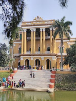
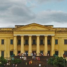
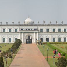
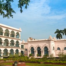
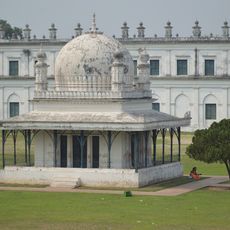
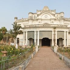
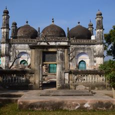
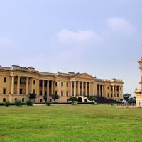
The grand palace from 1837 contains exactly 1000 doors, of which 100 are false and were meant to confuse intruders in the past. This construction makes the building one of the most unusual administrative structures in all of India.

The community of curious travelers

AroundUs brings together thousands of curated places, local tips, and hidden gems, enriched daily by 60,000 contributors worldwide.

Start exploring
Location
Capital city
Berhampore
Shares border with
Sahebganj district, Birbhum district, Purba Bardhaman district, Nadia district, Malda district, Pakur district, Chapai Nawabganj, Rajshahi District
Address
Murshidabad, West Bengal, India
GPS coordinates
24.20000,88.26667
Latest update
December 13, 2025 15:34
« Murshidabad district - Administrative district in West Bengal, India » is provided by Around Us (aroundus.com). Images and texts are derived from Wikimedia project under a Creative Commons license. You are allowed to copy, distribute, and modify copies of this page, under the conditions set by the license, as long as this note is clearly visible.

Discover hidden gems everywhere you go!

From secret cafés to breathtaking viewpoints, skip the crowded tourist spots and find places that match your style. Our app makes it easy with voice search, smart filtering, route optimization, and insider tips from travelers worldwide. Download now for the complete mobile experience.

Around Us App Screenshot

A unique approach to discovering new places

Le Figaro

All the places worth exploring

France Info

A tailor-made excursion in just a few clicks

20 Minutes

Around Us
Travel Guide & Maps
Download

Send to your phone

QR Code
1

Open the camera app on your mobile.

2

Point at the QR code with your camera. A notification will appear.

3

Tap the notification to open the link.