Enable Location

We need your location to show you interesting places around you

Discover nearby places

Find interesting locations and hidden gems around you

Precise directions

Get accurate directions and distances to places

Your location is never shared with other users. It's only used when you tap the location button.

Log in to your account

Start exploring — it's free

Trusted by 62,495 travelers worldwide

Continue with Google
Continue with Apple
or

We will send you a code to connect

By continuing, you accept our Terms and Conditions and our Privacy Policy

Check your inbox

We've sent a pincode in your inbox. Please enter the code below.

Ramanagara district

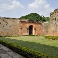
Ramanagara district, Administrative district in Karnataka, India

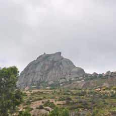
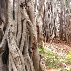
Ramanagara is an administrative district in southwestern Karnataka that spans hilly terrain, valleys, and plains. The landscape is defined by prominent granite outcrops that shape the geography and give the region its distinctive character.

The district was formed in 2007 as a separate administrative unit, carved out from the larger Bangalore Rural area. This reorganization brought together five taluks under a unified district administration.

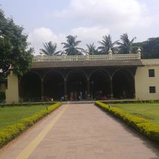
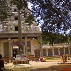
Kannada is the language you hear spoken daily across the district, shaping how locals interact and communicate. The region maintains strong traditions through its agricultural practices and local craftsmanship.

The district is well-connected by rail and road networks, situated about 50 kilometers southwest of Bangalore. This accessible location makes it straightforward to reach from the city.

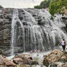
The region contains some of Earth's oldest granite formations, particularly the Closepet granites that run along a north-south belt. These ancient geological features make it a notable location for those interested in natural geology.

The community of curious travelers

AroundUs brings together thousands of curated places, local tips, and hidden gems, enriched daily by 60,000 contributors worldwide.

Start exploring
Inception
August 23, 2007
Capital city
Ramanagara
Shares border with
Bengaluru Rural district, Mandya
GPS coordinates
12.71997,77.27957
Latest update
December 20, 2025 15:52
« Ramanagara district - Administrative district in Karnataka, India » is provided by Around Us (aroundus.com). Images and texts are derived from Wikimedia project under a Creative Commons license. You are allowed to copy, distribute, and modify copies of this page, under the conditions set by the license, as long as this note is clearly visible.

Discover hidden gems everywhere you go!

From secret cafés to breathtaking viewpoints, skip the crowded tourist spots and find places that match your style. Our app makes it easy with voice search, smart filtering, route optimization, and insider tips from travelers worldwide. Download now for the complete mobile experience.

Around Us App Screenshot

A unique approach to discovering new places

Le Figaro

All the places worth exploring

France Info

A tailor-made excursion in just a few clicks

20 Minutes

Around Us
Travel Guide & Maps
Download

Send to your phone

QR Code
1

Open the camera app on your mobile.

2

Point at the QR code with your camera. A notification will appear.

3

Tap the notification to open the link.