Enable Location

We need your location to show you interesting places around you

Discover nearby places

Find interesting locations and hidden gems around you

Precise directions

Get accurate directions and distances to places

Your location is never shared with other users. It's only used when you tap the location button.

Junagadh district

Log in to your account

Start exploring — it's free

Trusted by 62,800 travelers worldwide

Continue with Google
Continue with Apple
or

We will send you a code to connect

By continuing, you accept our Terms and Conditions and our Privacy Policy

Check your inbox

We've sent a pincode in your inbox. Please enter the code below.

Junagadh district

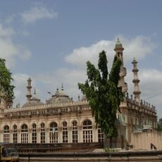
Junagadh district, Administrative district in western Gujarat, India

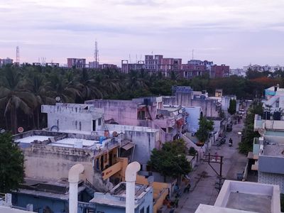
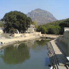
Junagadh district is an administrative region in western Gujarat on the Kathiawar peninsula, where the Arabian Sea forms its southern and western boundaries. It spans multiple administrative subdivisions with varied landscapes ranging from coastal areas to forested regions.

The district grew out of the Saurashtra region, which remained a separate state until 1956 before joining Bombay State. It became part of modern-day Gujarat in 1960, where it has been administered since then.

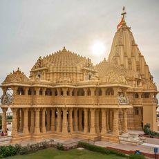
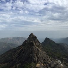
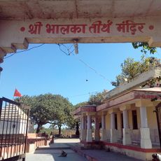
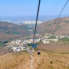
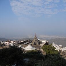
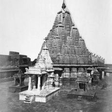
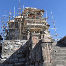
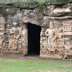
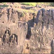
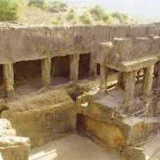
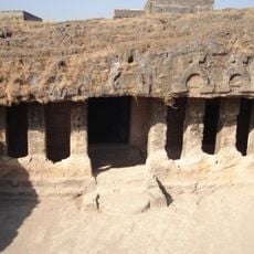
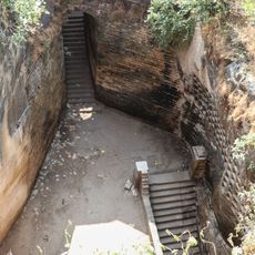
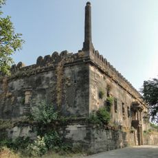
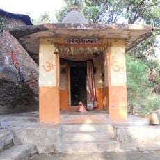
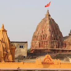
The district draws Hindu and Jain pilgrims to Mount Girnar, where sacred sites dot the landscape and attract visitors seeking spiritual connection. Local communities mark their calendars with traditional celebrations that reflect their religious heritage.

The district connects to major cities through National Highway 8D and maintains regular railway services, with Junagadh city serving as the main hub. Buses and local transport options help visitors navigate between towns and attractions within the region.

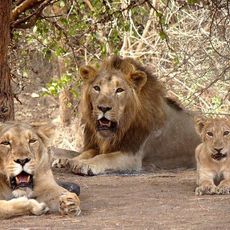
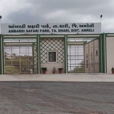
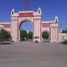
Gir Forest National Park within the district is home to the last wild population of Asiatic lions in India, making it crucial for species survival. This forest reserve draws wildlife enthusiasts and researchers from around the world.

The community of curious travelers

AroundUs brings together thousands of curated places, local tips, and hidden gems, enriched daily by 60,000 contributors worldwide.

Start exploring
Location
Capital city
Junagadh
Shares border with
Porbandar district, Rajkot district, Amreli district, Gir Somnath district
GPS coordinates
21.51667,70.45000
Latest update
December 7, 2025 10:06
« Junagadh district - Administrative district in western Gujarat, India » is provided by Around Us (aroundus.com). Images and texts are derived from Wikimedia project under a Creative Commons license. You are allowed to copy, distribute, and modify copies of this page, under the conditions set by the license, as long as this note is clearly visible.

Discover hidden gems everywhere you go!

From secret cafés to breathtaking viewpoints, skip the crowded tourist spots and find places that match your style. Our app makes it easy with voice search, smart filtering, route optimization, and insider tips from travelers worldwide. Download now for the complete mobile experience.

Around Us App Screenshot

A unique approach to discovering new places

Le Figaro

All the places worth exploring

France Info

A tailor-made excursion in just a few clicks

20 Minutes

Around Us
Travel Guide & Maps
Download

Send to your phone

QR Code
1

Open the camera app on your mobile.

2

Point at the QR code with your camera. A notification will appear.

3

Tap the notification to open the link.