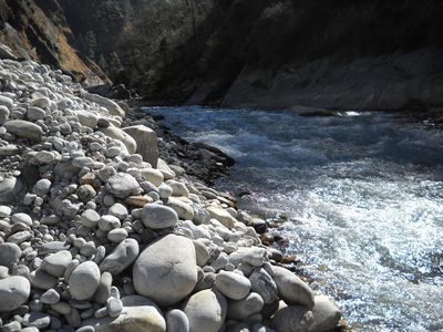
Dhauliganga River, Mountain river in Chamoli District, India
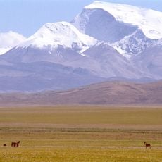
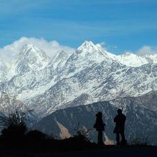
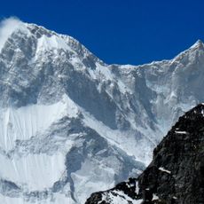
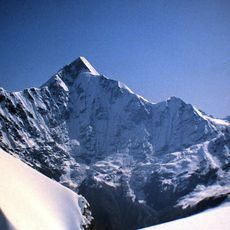
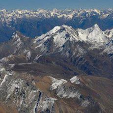
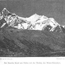
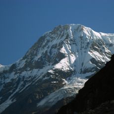
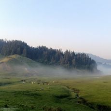
The Dhauliganga is a mountain river in Chamoli District that flows through the Darma Valley, originating from high elevations in the Niti Pass region. It cuts through deep gorges and steep terrain, carrying clear water downward through forested slopes before joining other rivers.
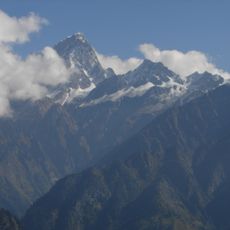
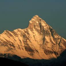
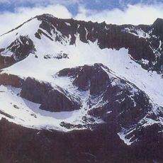
The river developed as part of the natural drainage system of the Garhwal Mountains, shaping the landscape over thousands of years. A major disruption occurred in 2021 when glacier collapse dramatically altered its flow and caused damage downstream.
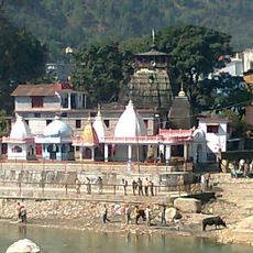
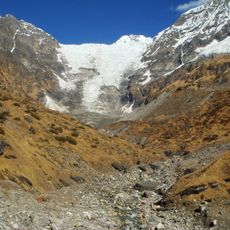
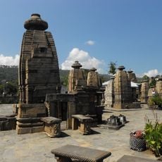
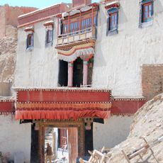
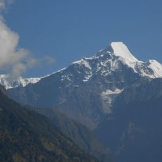
Bhotia communities live along the upper reaches of this river in villages like Bampa, Gamshali, and Niti, where traditional practices remain tied to the water's flow. These settlements have organized themselves around the river as a central feature of their daily life and cultural identity.
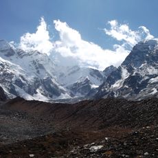
The best time to explore the river is during drier months when water levels are lower and more stable. Access to upper reaches typically requires hiking or local guides, as trails are steep and pass through remote areas.
This river contributes to the formation of the sacred Ganges, as it merges with the Alaknanda downstream and forms one of the main source streams. This makes it a quiet participant in one of India's most important waterways.
The community of curious travelers
AroundUs brings together thousands of curated places, local tips, and hidden gems, enriched daily by 60,000 contributors worldwide.