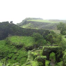
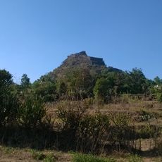
Kurdugad, Hill fort in Raigad district, India.
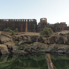
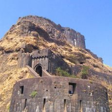
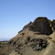
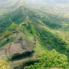
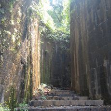
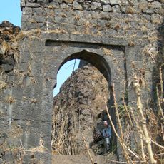
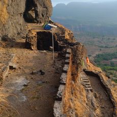
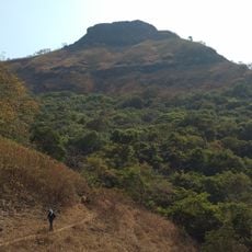
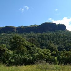
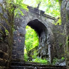
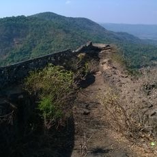
Kurdugad is a hill fort in Raigad district that spreads across two large rocky pinnacles at 615 meters elevation. The site includes water tanks and multiple entrance gates integrated into its layout.
The fort was constructed during Chatrapati Shivaji Maharaj's reign with help from Sardar Baji Pasalkar. It subsequently fell under Peshwa control and then came under British rule.
A temple dedicated to goddess Kurdai, the namesake of this fort, sits at its base and remains an important place for visitors to understand the site's spiritual role. Nearby shrines add to the religious meaning of the location.
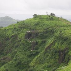
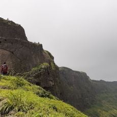
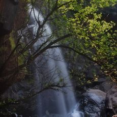
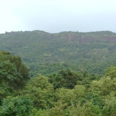
The climb from Jite village takes roughly two hours and offers routes through both Dhamanwal and alternative pathways. Bring enough water and wear sturdy footwear as the terrain is steep and rocky throughout.
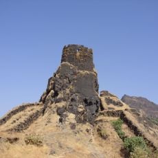
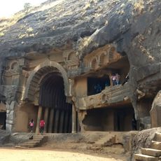
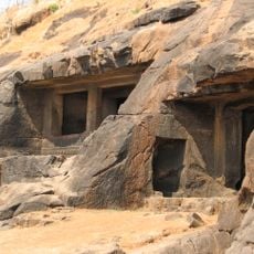
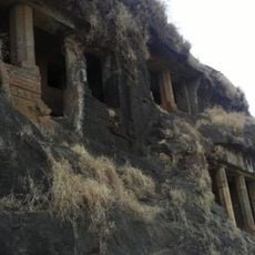
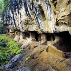
Behind a Hanuman idol near the entrance sits a natural groove in the rock that once sheltered people. This space had the capacity to protect up to 150 persons at a time.
The community of curious travelers
AroundUs brings together thousands of curated places, local tips, and hidden gems, enriched daily by 60,000 contributors worldwide.