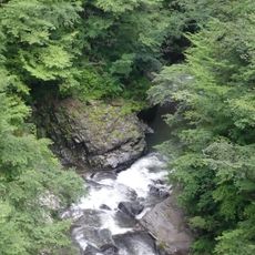
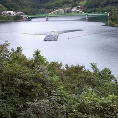
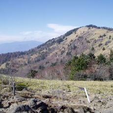
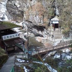
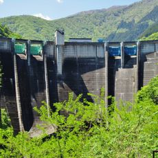
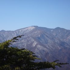
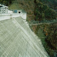
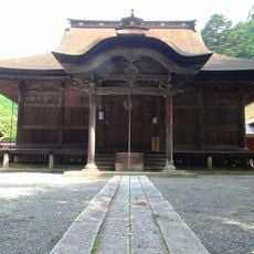
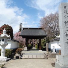
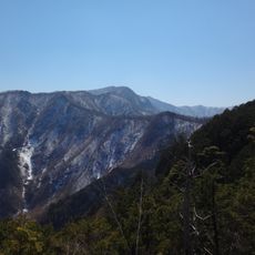
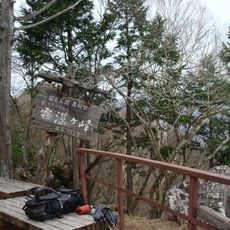
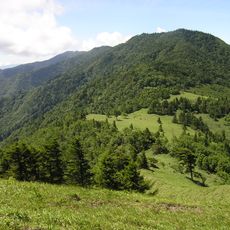
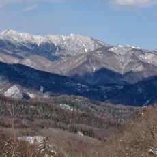
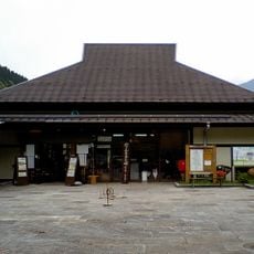
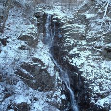
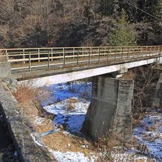
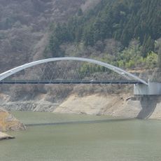
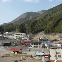
Kitatsuru district, district in Yamanashi prefecture, Japan
Location: Yamanashi Prefecture
Inception: December 19, 1878
GPS coordinates: 35.79400,138.90800
Latest update: April 6, 2025 04:58
Mount Kumotori
7.6 km
花魁淵
4.9 km
Lake Okutama
9.5 km
Mount Daibosatsu
7.6 km
Nippara Cave
13.7 km
Futase Dam
16.4 km
Mount Kasatori
11.2 km
Mount Wanakura
12 km
Kazunogawa Dam
8.6 km
Umpō-ji
11.2 km
Kamihikawa Dam
11 km
Oku-Hikawa Shrine
17.1 km
Fukashiro Dam
10.3 km
Mount Nanatsuishi
6.3 km
Jiunji (Koshu)
16.1 km
Mount Shiraiwa
10.3 km
Okutama Mizu-to-Midori-no-Fureaikan
12.7 km
Mount Kirimogamine
12.9 km
Mount Koganezawa
9.8 km
Mount Karamatsuo
10 km
Yama no Furusato Mura
10.8 km
Mitō Falls
12.5 km
三十槌橋
17.2 km
Mito Bridge
8.5 km
Hikawa Bridge
17.1 km
Mount Ohira
16.7 km
神岡橋
16.9 km
Shurin-ji temple
16 kmReviews
Visited this place? Tap the stars to rate it and share your experience / photos with the community! Try now! You can cancel it anytime.
Discover hidden gems everywhere you go!
From secret cafés to breathtaking viewpoints, skip the crowded tourist spots and find places that match your style. Our app makes it easy with voice search, smart filtering, route optimization, and insider tips from travelers worldwide. Download now for the complete mobile experience.
A unique approach to discovering new places❞
— Le Figaro
All the places worth exploring❞
— France Info
A tailor-made excursion in just a few clicks❞
— 20 Minutes