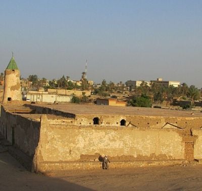
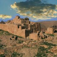
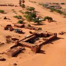
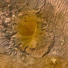
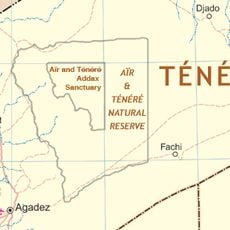
Murzuq District, Administrative district in southwestern Libya
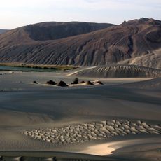
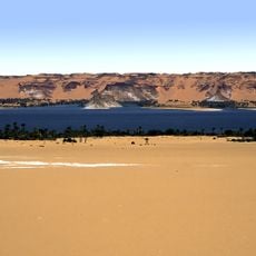
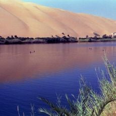
Murzuq District is an administrative region in southwestern Libya that stretches across vast sandy deserts, dune landscapes, and scattered oasis settlements. The territory is connected by markets, schools, medical facilities, and transportation routes that link multiple communities.
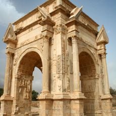
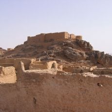
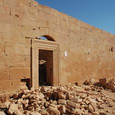
The region developed as a crossroads for trans-Saharan trade routes beginning in the 16th century under Ottoman control. This trade activity connected North Africa with southern regions and shaped the area's economic importance.
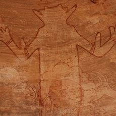
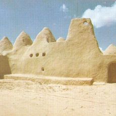
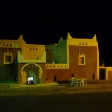
The population consists of Berbers, Arabs, and Toubou people who continue their traditions in music, clothing, and ceremonies today. These different groups shape daily life and social customs across the settlements.
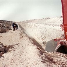
Travel through the region requires preparation for extreme heat and dryness, especially during summer months. It is wise to check the availability of water and fuel as well as road and transportation conditions before visiting.
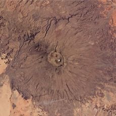
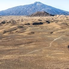
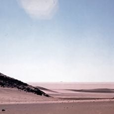
The area ranks among the driest places on Earth, receiving minimal rainfall throughout the year. Summers are marked by extreme heat that profoundly shapes how people live and move about.
The community of curious travelers
AroundUs brings together thousands of curated places, local tips, and hidden gems, enriched daily by 60,000 contributors worldwide.