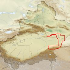
Govi-Altai, Administrative province in western Mongolia
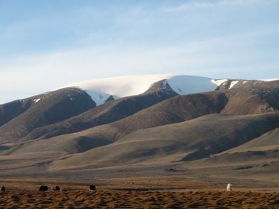
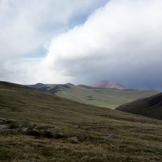
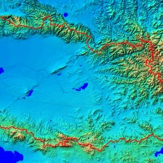
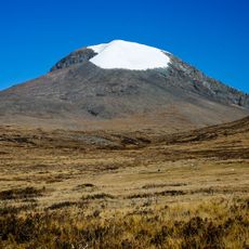
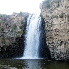
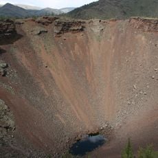
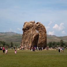
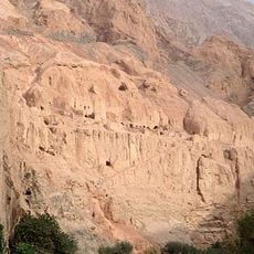
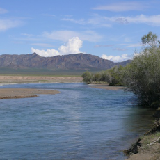
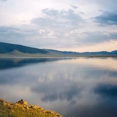
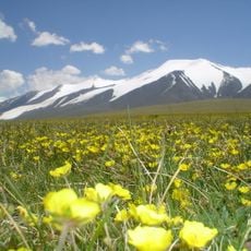
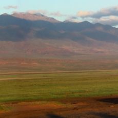
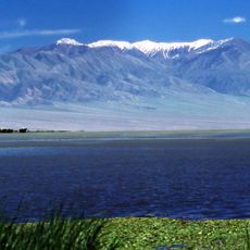
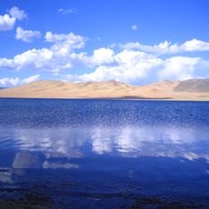
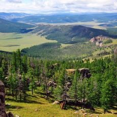
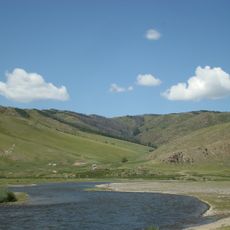
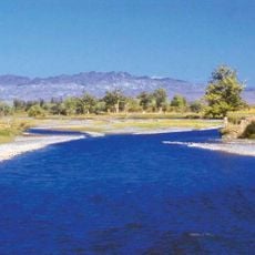
Govi-Altai is a province in western Mongolia where the landscape shifts between desert plains and mountain ranges, with varied elevations creating different environments across the region. The terrain spreads across a large area with scattered settlements and sparse infrastructure, making the natural landscape the defining feature.
This province was established in 1940 during a major administrative reorganization that reshaped Mongolia's regional divisions. This restructuring created the framework that still defines how the country is organized today.
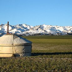
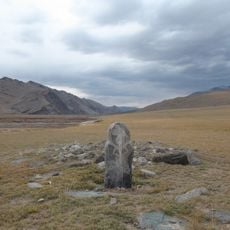
Nomadic families here still follow seasonal movement patterns with their herds across the landscape, a way of life that shapes how communities organize their homes and gather together. This traditional rhythm remains visible in how villages form and disappear with the pastoral calendar.
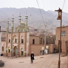
The capital Altai has daily bus connections and regular air service, making it accessible from larger cities. Once in the province, services become sparse, so visitors should plan ahead and gather supplies before venturing into more remote areas.
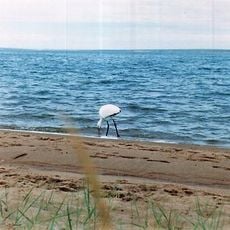
The protected areas here shelter rare animals like Gobi Bears, wild Bactrian camels, and black-tailed gazelles that have adapted to survive in this harsh desert environment. While visitors rarely spot these creatures, their presence reveals how distinctive the ecological conditions of this place truly are.
The community of curious travelers
AroundUs brings together thousands of curated places, local tips, and hidden gems, enriched daily by 60,000 contributors worldwide.