Islamabad Capital Territory, Federal territory in Pakistan
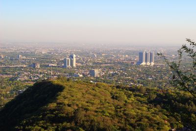
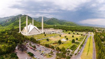
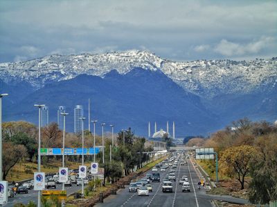
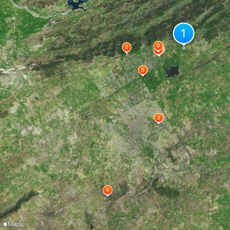
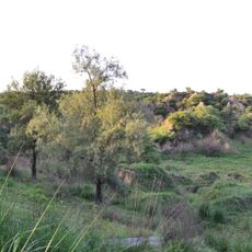
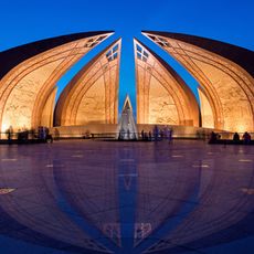
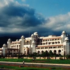
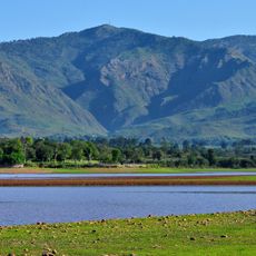
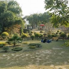
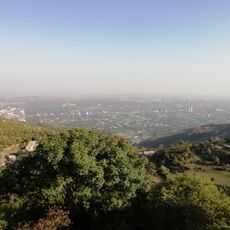
The Islamabad Capital Territory is a federal administrative zone in northern Pakistan covering around 900 square kilometers (roughly 350 square miles) at the edge of the Pothohar Plateau. The region borders the Margalla Hills and includes the capital city as well as surrounding areas with parks, research centers, and residential neighborhoods.
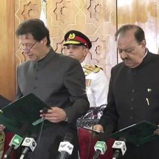
The administrative zone emerged in 1970 when the government separated it from Punjab province to create a dedicated federal district for the new capital. Over the following decades the area grew through migration from other parts of the country and through the expansion of education and research institutions.
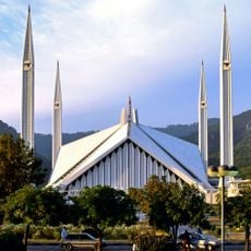
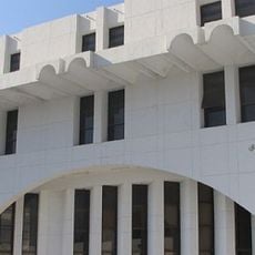
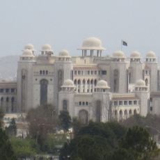
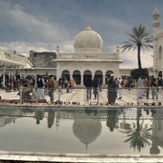
The territory takes its name from two words combining Islam with a Persian ending meaning city. In residential quarters and public spaces you see the link between modern glass facades and traditional elements such as decorated grilles and courtyards.
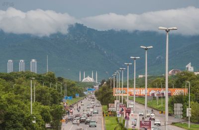
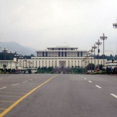
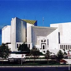
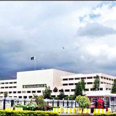
Visitors moving through the zone find wide roads and clear sector numbering that makes orientation easier. Most public facilities and administrative buildings sit in central areas and are easily reachable during daytime.
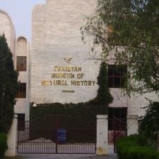
The administrative zone reaches a literacy rate around 95 percent, far above the national average. Several major research institutions and universities sit within the area and attract students from across the country.
The community of curious travelers
AroundUs brings together thousands of curated places, local tips, and hidden gems, enriched daily by 60,000 contributors worldwide.