·

Enable Location

We need your location to show you interesting places around you

Discover nearby places

Find interesting locations and hidden gems around you

Precise directions

Get accurate directions and distances to places

Your location is never shared with other users. It's only used when you tap the location button.

Chitral valley

Log in to your account

Start exploring — it's free

Trusted by 62,646 travelers worldwide

Continue with Google
Continue with Apple
or

We will send you a code to connect

By continuing, you accept our Terms and Conditions and our Privacy Policy

Check your inbox

We've sent a pincode in your inbox. Please enter the code below.

Chitral valley

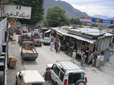
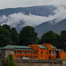
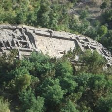
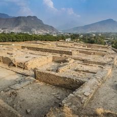
Chitral valley, Mountain city in Khyber Pakhtunkhwa, Pakistan.

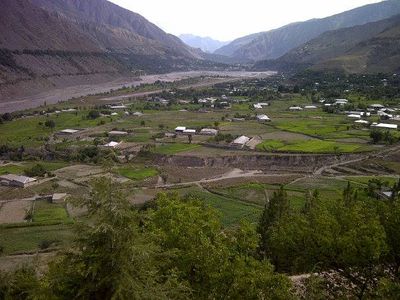
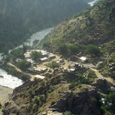
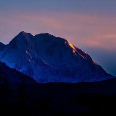
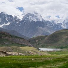
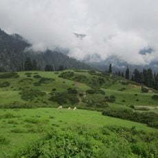
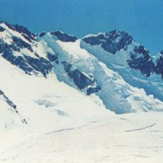
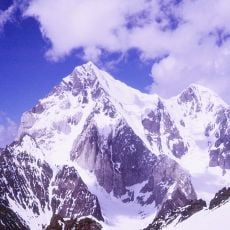
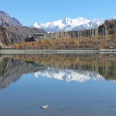
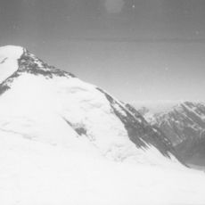
Chitral Valley runs through Lower Chitral District in Pakistan, where wide valleys stretch between peaks of the Hindu Kush. The landscape shifts from forested slopes near the Kunar River to bare heights that carry snow almost all year round.

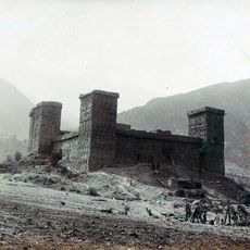
The valley served as seat of a ruling family until 1895, maintaining independence over centuries. After British conquest it became part of the Indian colonial realm and later integrated into Pakistan.

Residents follow a local tradition of freestyle polo played on open fields with lively crowds watching. This form of the sport combines physical skill with social bonding and has shaped life here for generations.

The Lowari Tunnel allows vehicle access throughout the year and connects the valley with areas farther east. Visitors should check road conditions locally, as snow and rockfall can affect traffic at times.

Agriculture here produces wheat, walnuts, grapes and mulberries that ripen in different months depending on elevation. This range of harvests allows farmers to use multiple growing cycles in a single year.

The community of curious travelers

AroundUs brings together thousands of curated places, local tips, and hidden gems, enriched daily by 60,000 contributors worldwide.

Start exploring
Location
Lower Chitral District
Elevation above the sea
1,517 m
GPS coordinates
35.85111,71.78889
Latest update
December 13, 2025 17:21
« Chitral valley - Mountain city in Khyber Pakhtunkhwa, Pakistan » is provided by Around Us (aroundus.com). Images and texts are derived from Wikimedia project under a Creative Commons license. You are allowed to copy, distribute, and modify copies of this page, under the conditions set by the license, as long as this note is clearly visible.

Discover hidden gems everywhere you go!

From secret cafés to breathtaking viewpoints, skip the crowded tourist spots and find places that match your style. Our app makes it easy with voice search, smart filtering, route optimization, and insider tips from travelers worldwide. Download now for the complete mobile experience.

Around Us App Screenshot

A unique approach to discovering new places

Le Figaro

All the places worth exploring

France Info

A tailor-made excursion in just a few clicks

20 Minutes

Around Us
Travel Guide & Maps
Download

Send to your phone

QR Code
1

Open the camera app on your mobile.

2

Point at the QR code with your camera. A notification will appear.

3

Tap the notification to open the link.