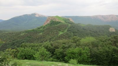
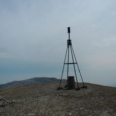
Pakhkal-Kaya, mountain and monastery ruins in Crimea
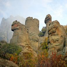
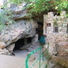
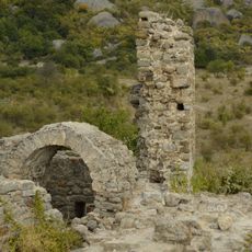
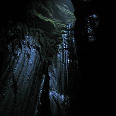
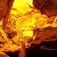
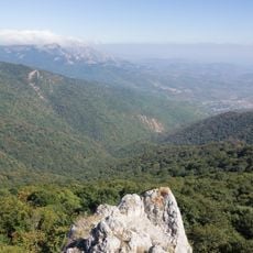
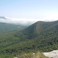
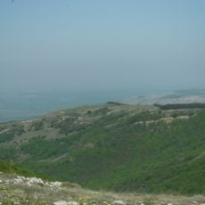
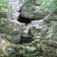
Pakhkal-Kaya is a mountain monastery ruin in southern Crimea featuring medieval Christian structures and stonework. The remains include walls, arches, and stone formations that follow the natural slopes of the mountain, scattered across rocky terrain with sparse vegetation.
The monastery was founded in medieval times as a place for Christian prayer and community gathering that served the local population for centuries. It was eventually abandoned, but the ruins remain as evidence of the region's long Christian presence and its importance to people long ago.
The site's name comes from the mountain itself, and it served as a gathering place for Christian communities in the region for many centuries. Today the ruins sit quietly in the landscape, showing how this location mattered to the people who lived and worshiped here long ago.
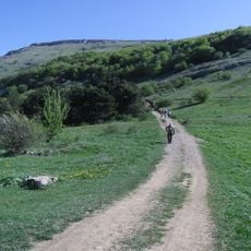
The path up the mountain to the ruins is narrow and rocky, requiring sturdy footwear and careful footing on uneven ground. Bring plenty of water and allow time to explore the site slowly, as there are no shops or facilities nearby to purchase supplies.
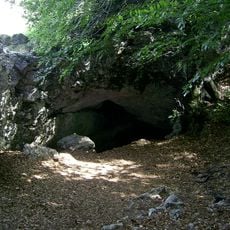
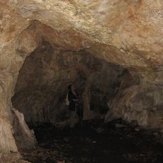
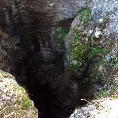
Local stories speak of early Christians who sought refuge on this mountain and monks who lived in nearby caves using the site as shelter. These legends add a layer of mystery and intrigue to what visitors can see walking through the quiet ruins today.
The community of curious travelers
AroundUs brings together thousands of curated places, local tips, and hidden gems, enriched daily by 60,000 contributors worldwide.