East of England, Administrative region in eastern England
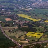
East of England is an administrative territory covering six counties in the eastern part of the country: Bedfordshire, Cambridgeshire, Essex, Hertfordshire, Norfolk and Suffolk. It borders the North Sea along its eastern edge and contains both rural farmland and urban centers, with Cambridge being its most prominent city.
The territory gained its official administrative role in 1994 as a response to government reform needs. Five years later, in 1999, it was also adopted as a statistical unit for national data collection and analysis.
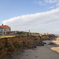
Cambridge influences the feel of the area with its university students cycling through narrow streets and studying in old college libraries. Market towns across Norfolk and Suffolk hold weekly markets where locals buy fresh vegetables and handmade goods, while coastal fishing villages maintain their maritime customs and sell daily catches at small harbors.
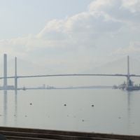
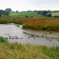
The area sits directly on the North Sea coast and connects to London through several train lines and major roads. Visitors exploring the territory should expect varied landscapes, from flat coastal areas to gentle hills inland.
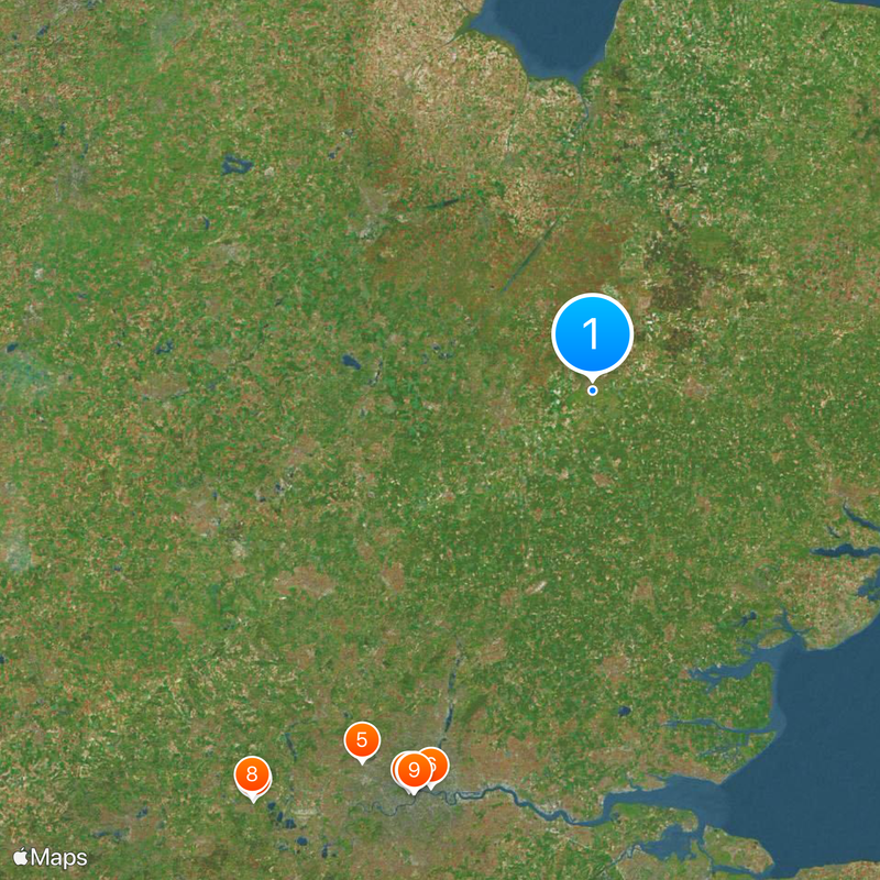
Ivinghoe Beacon in Hertfordshire reaches 249 meters (817 feet) above sea level and marks the highest spot across the entire territory. From this viewpoint hill, you can see large portions of the flat countryside on clear days, which is rare for eastern England.
The community of curious travelers
AroundUs brings together thousands of curated places, local tips, and hidden gems, enriched daily by 60,000 contributors worldwide.