South Central Coast, Administrative region in Vietnam
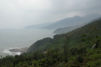
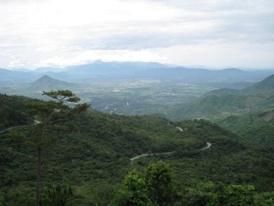
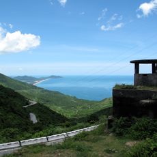
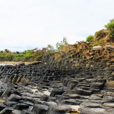
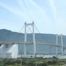
The South Central Coast is an administrative region in Vietnam stretching along the eastern shoreline from Hai Van Pass down to Ninh Thuan Province. Mountain ranges drop directly into the sea here, creating bays, beaches, lagoons, and deep natural harbors, while large stretches are lined with cliffs, sand dunes, and smaller offshore islands.
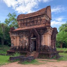
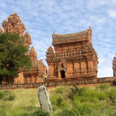
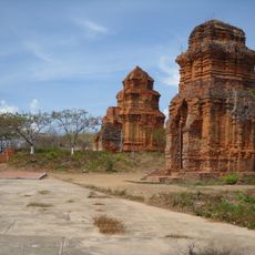
Between 1000 BC and 200 AD this coastal region served as the center of the Champa kingdom, which controlled trade routes across the South China Sea and exchanged goods with Indian, Arab, and Chinese merchants. From the 15th century onward, the Vietnamese kingdom expanded southward and gradually integrated the region into its territory, while many Cham communities retained their religious sites and language.
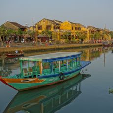
In Vinh Moc, visitors can walk through tunnels built several meters underground during the 1960s, where families lived with kitchens and meeting spaces. Along the coast, fishermen still use round basket boats called thung chai, woven from bamboo and paddled with short oars to gather seafood close to shore.
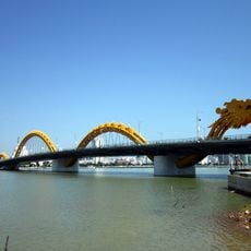
National Route 1 and the North-South Railway connect all major cities here, while international airports in Da Nang and regional airfields in Hue and Dong Hoi make access easier. The best time to visit is between February and May when rain is rare and temperatures stay comfortable, while typhoons occur more often between September and December.
The Marble Mountains near Da Nang consist of five limestone hills, each named after one of the five elements, with caves containing Buddhist shrines reached by steep stone-cut steps. The Paradise Cave system in Phong Nha extends over 31 kilometers underground and displays stalagmites that reach heights exceeding 70 meters (230 feet) in some chambers.
The community of curious travelers
AroundUs brings together thousands of curated places, local tips, and hidden gems, enriched daily by 60,000 contributors worldwide.