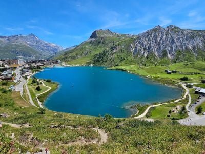
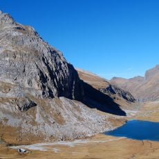
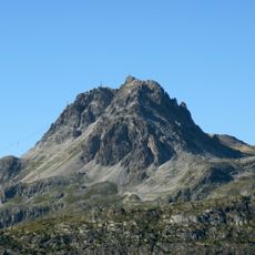
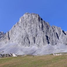
Lac de Tignes, Alpine lake in Tignes, France
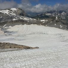
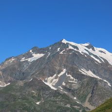
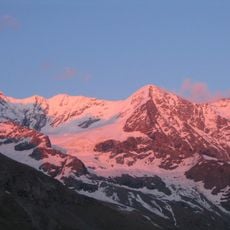
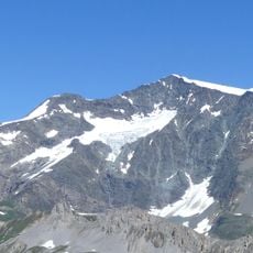
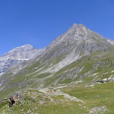
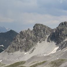
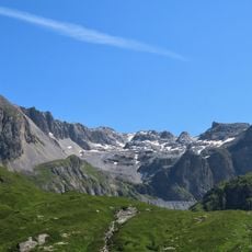
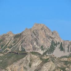
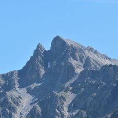
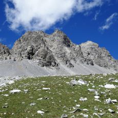
Lac de Tignes is an artificial reservoir situated at around 2100 meters elevation within a mountain valley surrounded by Alpine peaks. The water surface creates a broad expanse that reflects the surrounding ridges and slopes in calm conditions.
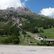
The reservoir was created in 1952 when the original village of Tignes was deliberately flooded to generate hydroelectric power. This project fundamentally changed the landscape and enabled the development of the ski resort that now surrounds the water.
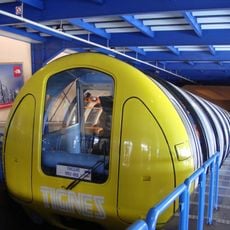
The lake serves as a gathering point for both residents and visitors throughout the seasons. Its shores reflect how mountain life centers around outdoor pursuits and connection to the natural environment.
Summer months offer opportunities for kayaking, stand-up paddling, and fishing, with equipment rentals available near the shoreline. Visit during calm weather for the best conditions to enjoy the water and see clear reflections of the surrounding peaks.
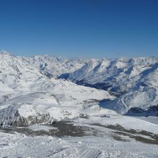
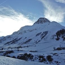
During winter months, the water surface freezes solid and transforms into a natural pathway that connects different areas of the Tignes valley. This frozen route creates a temporary shortcut that locals and visitors only experience when temperatures drop sufficiently.
The community of curious travelers
AroundUs brings together thousands of curated places, local tips, and hidden gems, enriched daily by 60,000 contributors worldwide.