Inuvik Region, Administrative region in Northwest Territories, Canada.
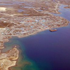
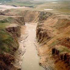
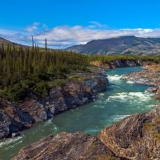
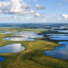
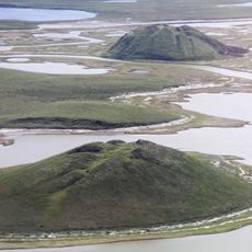
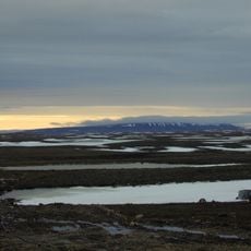
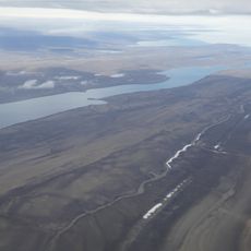
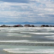
The Inuvik Region stretches from Wrigley to the Beaufort Sea along the Mackenzie River valley, including Banks Island and the Richardson Mountains. The area encompasses eight communities served by Inuvik as its main administrative and service hub.
The region was established in the early 1970s as an administrative division, replacing portions of the former Mackenzie and Franklin districts. This reorganization improved the management and delivery of services across the northern territory.
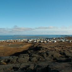
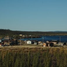
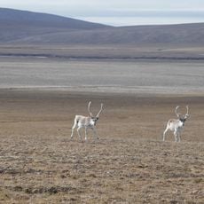
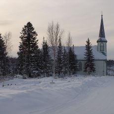
Indigenous Inuvialuit and Gwich'in communities here practice hunting and fishing as central parts of their daily lives. These activities remain woven into the fabric of the eight settlements that make up the region.
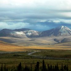
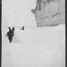
The climate is extremely cold with harsh winters and significant temperature swings, so proper cold-weather gear is essential for any visit. Access to the region relies mainly on the Dempster Highway, though seasonal conditions can affect travel reliability.
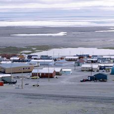
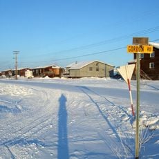
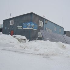
The region relies on above-ground pipes and tubes to distribute water and collect sewage, a solution made necessary by permanently frozen ground. This visible infrastructure represents an ingenious adaptation to the harsh northern landscape.
The community of curious travelers
AroundUs brings together thousands of curated places, local tips, and hidden gems, enriched daily by 60,000 contributors worldwide.