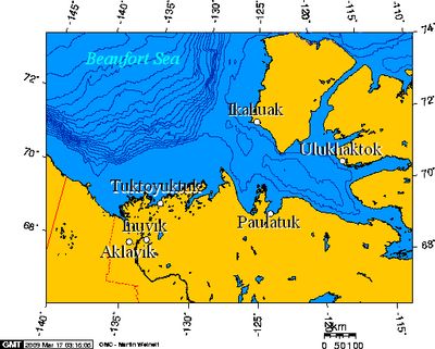
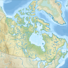
Inuvialuit Settlement Region, Administrative region in Northwest Territories and Yukon, Canada
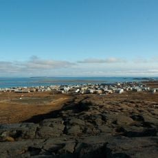
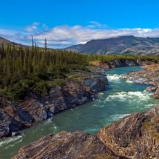
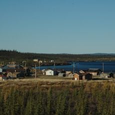
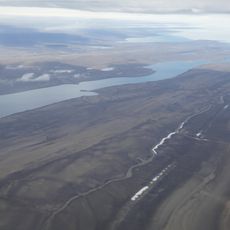
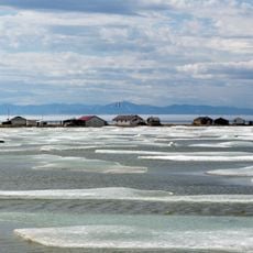
The Inuvialuit Settlement Region is an administrative area stretching across the Mackenzie Delta, Beaufort Sea, and Amundsen Gulf, encompassing six Inuvialuit communities. These settlements are spread throughout the Northwest Territories and are connected by waterways and seasonal routes.
The Inuvialuit communities gained control over their lands and received financial resources in 1984 through a landmark agreement. This agreement marked a turning point, establishing the framework for self-governance and management of their own territories.
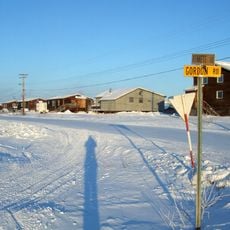
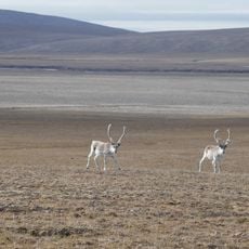
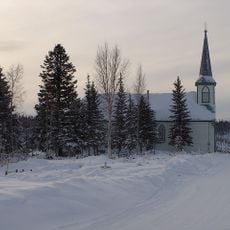
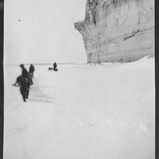
The Inuvialuktun language with its regional dialects remains woven into everyday community life, while hunting, fishing, and trapping continue to shape how people live and gather food.
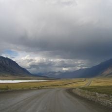
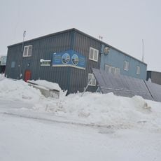
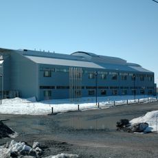
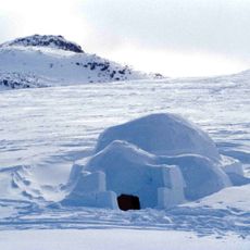
Access to the communities is mainly by plane or boat, as few road connections exist and seasons heavily affect travel. Visitors should prepare for cold weather, limited accommodations, and extended periods of darkness or daylight.
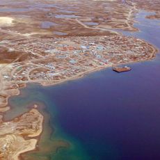
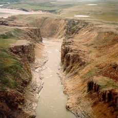
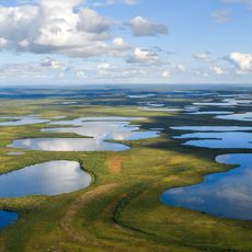
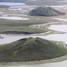
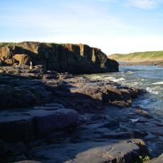
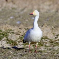
Tuktoyaktuk holds the region's only deepwater port and serves as a crucial hub for Arctic shipping and trade. Nearby protected areas like Aulavik National Park provide essential habitats for seabirds and marine wildlife.
Location: Yukon
Location: Northwest Territories
Inception: 1984
Website: http://irc.inuvialuit.com
GPS coordinates: 68.36167,-133.73056
Latest update: December 7, 2025 20:43
Arctic National Wildlife Refuge
399.5 km
Dalton Highway
612 km
Cambridge Bay
1150 km
Dempster Highway
150 km
Kugluktuk
773.3 km
Aklavik
55.1 km
Midnight Sun Mosque
826 m
Tuktut Nogait National Park
488.7 km
Paulatuk
402.8 km
Ivvavik National Park
265.1 km
Vuntut National Park
259.6 km
Aulavik National Park
772.7 km
Aurora College
584 m
Mount Isto
415.9 km
Colville Lake
354.4 km
Pingo Canadian Landmark
118.5 km
Qausuittuq National Park
1375.9 km
Fort Confidence, Northwest Territories
641.6 km
Bloody Fall
764.3 km
Church of Our Lady of Good Hope
320.6 km
Kugluk/Bloody Falls Territorial Park
764.2 km
Nanuit Itillinga National Wildlife Area
1416.1 km
Cambridge Bay LORAN Tower
1151.5 km
Herschel Island-Qikiqtaruk Territorial Park
251.7 km
Kendall Island Migratory Bird Sanctuary
121.1 km
The Ramparts
317.7 km
Sans Sault Rapids
365.3 km
Peters Glacier (Brooks Range)
462.2 kmVisited this place? Tap the stars to rate it and share your experience / photos with the community! Try now! You can cancel it anytime.
Discover hidden gems everywhere you go!
From secret cafés to breathtaking viewpoints, skip the crowded tourist spots and find places that match your style. Our app makes it easy with voice search, smart filtering, route optimization, and insider tips from travelers worldwide. Download now for the complete mobile experience.
A unique approach to discovering new places❞
— Le Figaro
All the places worth exploring❞
— France Info
A tailor-made excursion in just a few clicks❞
— 20 Minutes