Wahluke Slope, Geographic slope in Eastern Washington, United States.
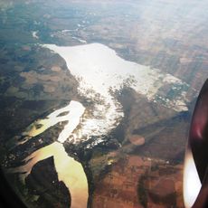
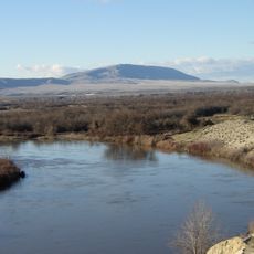
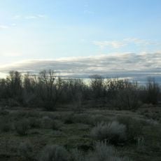
Wahluke Slope is a south-facing slope stretching between the Saddle Mountains and the Columbia River's Hanford Reach. Today the area is dominated by wine production, with vineyards covering thousands of acres of rolling terrain.
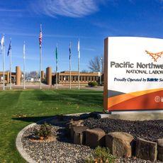
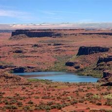
The slope was shaped during the last ice age by massive glacial floods that carved through the landscape. In 1943 the area was converted for nuclear research purposes, bringing major changes to its land use and population.
The Wanapum people maintained deep ties to this land for generations before 1943. Their heritage remains woven into the region's identity and local stories.
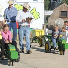
The area is accessible via Washington State Route 24, which runs along its western edge starting from Mattawa. Visitors should keep in mind this is an active agricultural region where access to private vineyards may be limited.
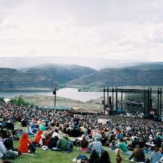
The region experiences exceptionally hot summers that have shaped it into one of the warmest wine areas in the Pacific Northwest. These harsh conditions have heavily influenced which grape varieties thrive and how they are grown here.
The community of curious travelers
AroundUs brings together thousands of curated places, local tips, and hidden gems, enriched daily by 60,000 contributors worldwide.