Uruzgan Province, Province in central Afghanistan
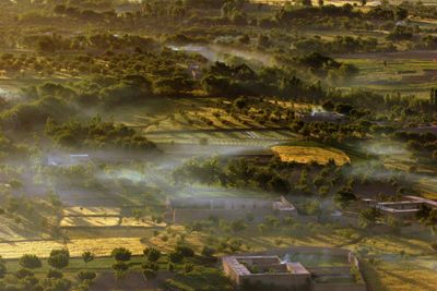
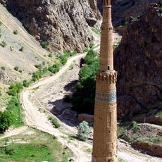
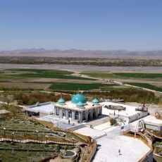
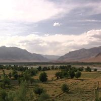
Uruzgan Province is a region of highlands and mountainous terrain in central Afghanistan. The landscape varies between flat areas and rugged uplands that shape settlement patterns and land use throughout the province.
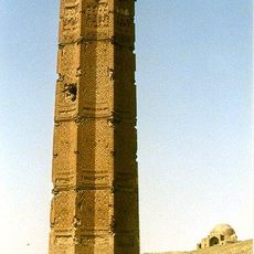
The region became part of the Durrani Empire in the 18th century and later experienced changes in government systems. Regional power shifts and foreign influence reshaped its role within Afghanistan over time.
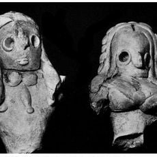
The region is shaped by Pashtun communities who maintain traditional ways of life in farming settlements. Their customs and social structures define daily rhythms in villages and smaller towns.
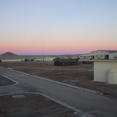
The region connects to other parts of the country via the Kandahar-Uruzgan highway and a local airport links it to the capital. Visitors should expect challenging terrain and limited services in many areas.
The province divides into 6 administrative districts, each with distinct geographic characteristics. These differences in terrain and elevation determine what crops grow and how communities build their settlements.
Location: Afghanistan
Capital city: Tarinkot
Elevation above the sea: 1,760 m
Shares border with: Helmand Province, Zabul Province
GPS coordinates: 32.80000,66.00000
Latest update: December 7, 2025 10:07
Minaret of Jam
224.8 km
Band-e Amir National Park
254 km
Shrine of the Cloak
134.2 km
Kandahar Bilingual Rock Inscription
135.6 km
Camp Rhino
293 km
Mundigak
109.3 km
Tarnak Farms
150.6 km
Ghazni Minarets
242.2 km
Citadel of Ghazni
240.7 km
Tomb of Ahmad Shah Durrani
134.2 km
Palace of Sultan Mas'ud III
243.1 km
Main Operating Base Price
174.2 km
Chil Zena
135.6 km
Forward Operating Base Edinburgh
209.9 km
Shahr-e Zuhak, Bamyan
281.5 km
Quetta Cantonment
303.5 km
Cultural Landscape and Archaeological Remains of the Bamiyan Valley
282.3 kmMosque of the Hair of the Prophet
134.9 km
Forward Operating Base Arian
237.9 km
Lashkar Gah Mosque
204.2 km
Paropamisus
278.3 km
Forward Operating Base Shawqat
209.9 km
Forward Operating Base Zeebrugge
135.6 km
Shāh Fōlādī
254.4 km
Forward Operating Base Arnhem
201 km
Minaret and Archaeological Remains of Jam
224.8 km
Qalat City Fort
114.7 km
Mausoleum of Baba Wali
131.2 kmVisited this place? Tap the stars to rate it and share your experience / photos with the community! Try now! You can cancel it anytime.
Discover hidden gems everywhere you go!
From secret cafés to breathtaking viewpoints, skip the crowded tourist spots and find places that match your style. Our app makes it easy with voice search, smart filtering, route optimization, and insider tips from travelers worldwide. Download now for the complete mobile experience.
A unique approach to discovering new places❞
— Le Figaro
All the places worth exploring❞
— France Info
A tailor-made excursion in just a few clicks❞
— 20 Minutes