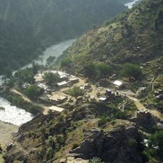
Kalafgan, district of Takhar, Afghanistan
Location: Takhar
Elevation above the sea: 1,593 m
GPS coordinates: 36.78778,69.91500
Latest update: March 7, 2025 13:32
Combat Outpost Keating
198.1 km
Qosh Tepa Canal
193.4 km
Terich Mir
182.9 km
Noshaq
175.6 km
Shortugai
68.4 km
Alexandria on the Caucasus
207.1 km
Chitral Gol National Park
183.6 km
Surkh Kotal
146.1 km
Tigrovaya Balka Nature Reserve
135.9 km
Takht-e Rostam
179.8 km
Bagram Hoard
210.2 km
Chitral Fort
197.8 km
Istor-o-Nal
183 km
Saraghrar
198.3 km
Shahi Mosque
197.6 km
Udren Zom
187.1 km
Kalasha Dur Museum
199.8 km
Chitral Museum
197.8 km
Palace of the governor of Khulbuk
114.7 km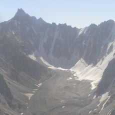
Kuh-e Safed Khers
179 km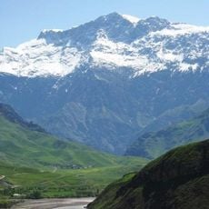
Kuh-e Kallat
133.5 km
Takht-e Rostam
178.7 km
Yamchun Fort
209.9 km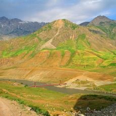
Shuroobod-Brücke
131 km
Darab-Qal'a
209.2 km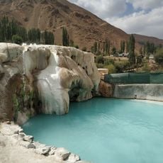
Garam Chashma Hot Spring
151.5 km
Qah-Qaha
164.6 km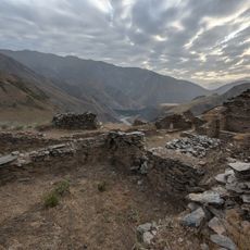
Castle Karon
202.6 kmReviews
Visited this place? Tap the stars to rate it and share your experience / photos with the community! Try now! You can cancel it anytime.
Discover hidden gems everywhere you go!
From secret cafés to breathtaking viewpoints, skip the crowded tourist spots and find places that match your style. Our app makes it easy with voice search, smart filtering, route optimization, and insider tips from travelers worldwide. Download now for the complete mobile experience.

A unique approach to discovering new places❞
— Le Figaro
All the places worth exploring❞
— France Info
A tailor-made excursion in just a few clicks❞
— 20 Minutes