Caburgua Lake, Volcanic lake in Araucanía Region, Chile
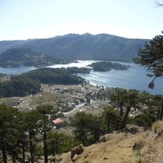
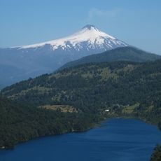
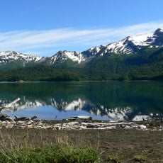
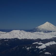
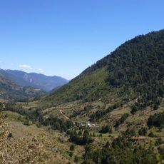
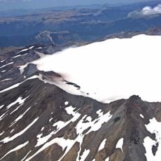
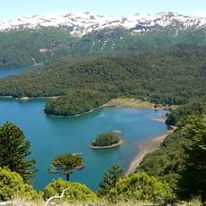
Caburgua Lake lies 23 kilometres northeast of Pucón in the Araucanía Region, occupying a glacial valley carved along the Liquiñe-Ofqui Fault and dammed in the Holocene by lava flows from the Volcanes de Caburgua. It drains southwest via the Carrileufu toward the Toltén basin, and Huerquehue National Park borders its eastern shore.
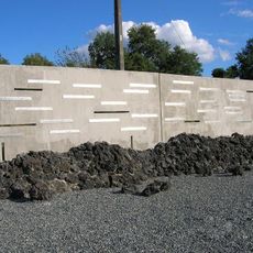
The lake basin formed through glacial erosion along the Liquiñe-Ofqui Fault and was later blocked by lava flows from the Volcanes de Caburgua during the Holocene. This volcanic activity shaped the lake and its surrounding landscape.
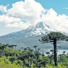
The name Caburgua comes from the Mapudungun Kafürwe, "place where one digs", after the lake's shape. Pehuenche families, a Mapuche subgroup, still live around the lake; in autumn they climb to araucaria forests above 1,000 m to gather piñones in sacks. The nuts are roasted, ground, boiled or fermented into chicha, and sold in Pucón markets in winter.
The lake is accessible through two main beaches where visitors can swim, fish, and boat. The best time to visit is during warmer months when the weather is stable.
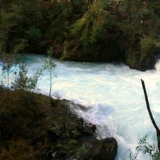
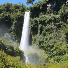
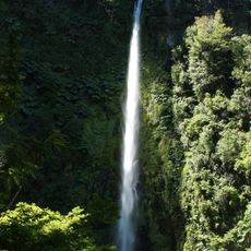
The lake's water connects underground to the Ojos del Caburgua waterfalls, which continue flowing even when surface streams dry up during summer. This hidden connection reveals the complex hydrology of the volcanic region.
The community of curious travelers
AroundUs brings together thousands of curated places, local tips, and hidden gems, enriched daily by 92,633 contributors worldwide.