Llancanelo Lake, Wetland nature reserve in Malargüe Department, Mendoza Province, Argentina
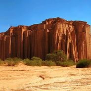
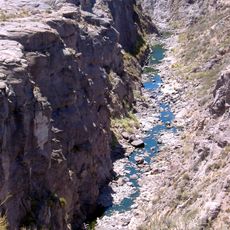
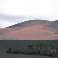
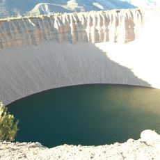
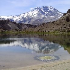
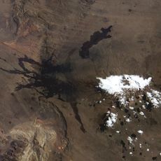
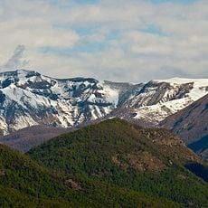
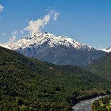
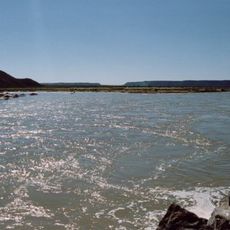
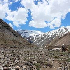
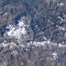
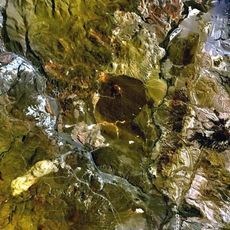
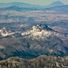
Llancanelo Lake is a large body of water in Mendoza Province that marks a geographic boundary between two regions of Argentina. The lake is fed by river systems and contains both open water and reed-lined shores, with varying depths across its expanse.
The lake was recognized in 1995 as a wetland of international importance and given protected status. This designation acknowledged its role as a vital ecosystem in Argentina's southern region.
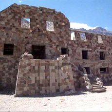
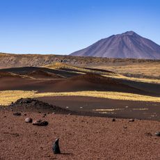
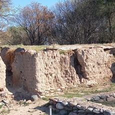
The lake's name comes from the Mapuche language, reflecting indigenous roots in this region. Visitors can sense this cultural connection today through the landscape and local knowledge about the area.
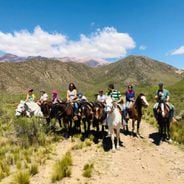
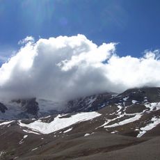
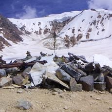
The best time to visit is during bird migration season when thousands of species use the lake. Access requires basic preparation since the lake sits in a remote area, and visitors should bring sturdy footwear and protection from wind and sun.
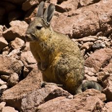
The lake serves as a haven for black-necked swans and flamingos that gather in large numbers, creating striking visual displays for visitors. The bird populations shift dramatically with the seasons, meaning each visit at a different time reveals a completely different landscape of wildlife.
The community of curious travelers
AroundUs brings together thousands of curated places, local tips, and hidden gems, enriched daily by 60,000 contributors worldwide.