
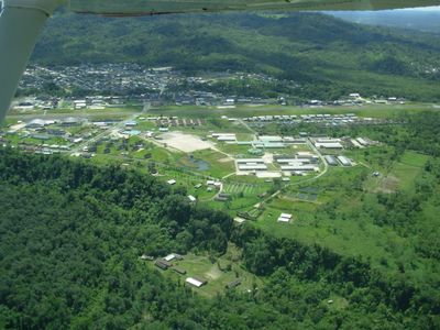
Shell, town in Pastaza, Ecuador
Location: Mera Canton
Location: Pastaza Province
Elevation above the sea: 1,067 m
GPS coordinates: -1.49973,-78.06113
Latest update: April 20, 2025 19:40
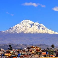
Chimborazo
84 km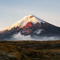
Cotopaxi volcano
100.4 km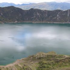
Quilotoa
117.9 km
Tungurahua volcano
43.3 km
Cotopaxi National Park
100 km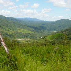
Sangay National Park
47.9 km
Sangay volcano
64.3 km
Llanganates National Park
45.1 km
Antisana volcano
113.4 km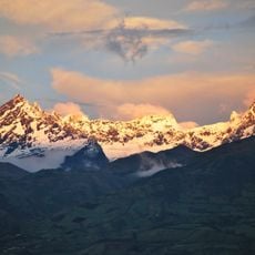
El Altar volcano
43.3 km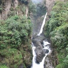
Cascada el Pailón del Diablo
28.2 km
Antisana National Park
105.1 km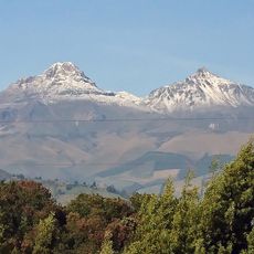
Illiniza volcano
119.8 km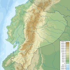
El Chalupas
79.5 km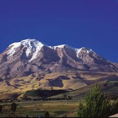
Chimborazo Fauna Production Reserve
87.8 km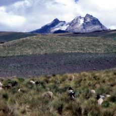
Carihuairazo volcano
77.4 km
Refugio de vida silvestre Pasochoa
126.2 km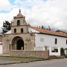
Iglesia de La Balbanera
81.9 km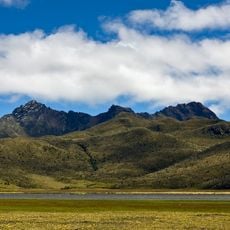
Rumiñahui volcano
113.2 km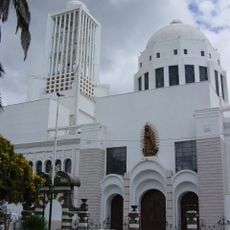
Cathedral Basilica of Our Lady of the Elevation
69.4 km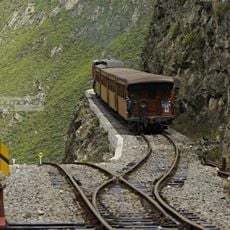
Nariz del Diablo
122.8 km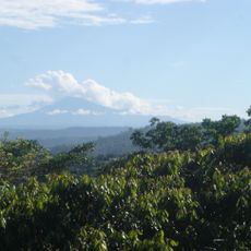
Sumaco
117.1 km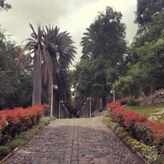
Atocha-La Liria Botanical Garden
68.5 km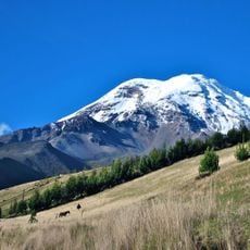
Chimborazo
83.1 km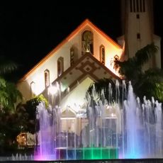
Our Lady of the Rosary Cathedral, Puyo
7.4 km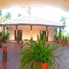
Martínez-Holguín House
69.3 km
Mulatos River
50.3 km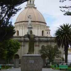
Sacred Heart Basilica (Riobamba)
67.9 kmReviews
Visited this place? Tap the stars to rate it and share your experience / photos with the community! Try now! You can cancel it anytime.
Discover hidden gems everywhere you go!
From secret cafés to breathtaking viewpoints, skip the crowded tourist spots and find places that match your style. Our app makes it easy with voice search, smart filtering, route optimization, and insider tips from travelers worldwide. Download now for the complete mobile experience.

A unique approach to discovering new places❞
— Le Figaro
All the places worth exploring❞
— France Info
A tailor-made excursion in just a few clicks❞
— 20 Minutes