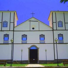
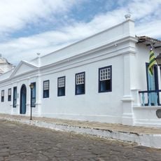
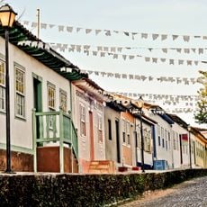
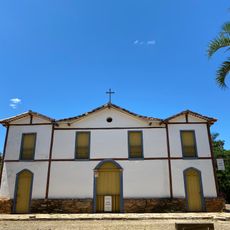
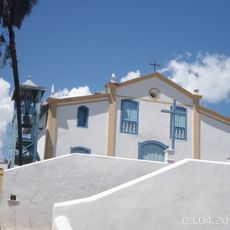
São Félix do Araguaia, Municipal center in Mato Grosso, Brazil.
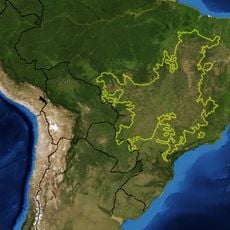
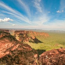
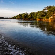
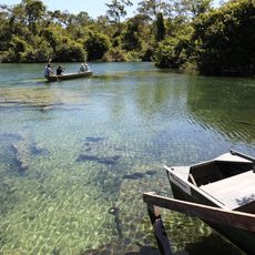
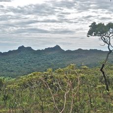
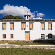
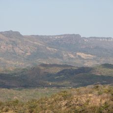
São Félix do Araguaia is a municipality situated along the Araguaia River in Mato Grosso, sitting at roughly 195 meters in elevation and encompassing farmland and natural landscape within its administrative boundaries. The town functions as the central hub for the surrounding region and connects different ecological zones.
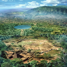
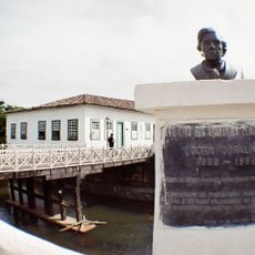
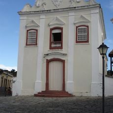
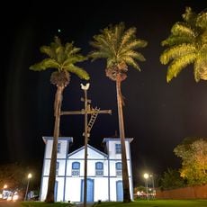
The area transformed from indigenous lands into an administrative center during the 20th century, marking a shift in how the territory was governed. This transition brought new economic structures that shaped the region's development into the present day.
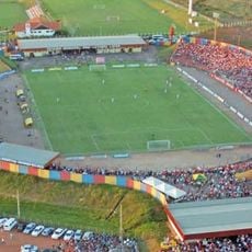
The community maintains deep ties to farming traditions through seasonal celebrations that bring together local harvests, regional music, and neighborhood gatherings. These occasions shape how residents connect with one another and reflect their dependence on the land.
The local airport and regional highways offer transportation access to the municipality, connecting it with other cities in Mato Grosso. Roads can be challenging during the rainy season, so planning your visit during drier months helps with travel.
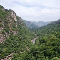
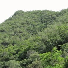
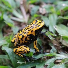
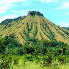
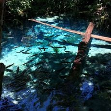
The town sits at the crossroads of different Brazilian ecosystems and attracts researchers studying the Araguaia River system and its wildlife. This strategic position makes it an important focal point for understanding Brazil's natural landscapes.
The community of curious travelers
AroundUs brings together thousands of curated places, local tips, and hidden gems, enriched daily by 60,000 contributors worldwide.