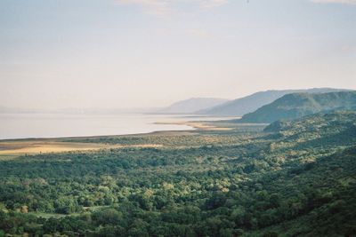
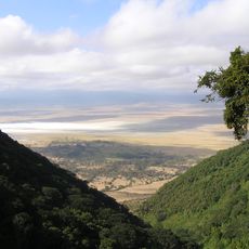
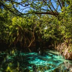
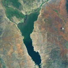
Lake Manyara, Freshwater lake in northern Tanzania
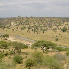
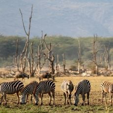
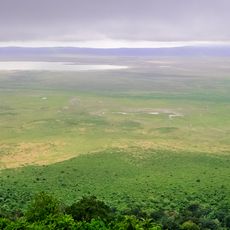
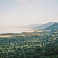
Lake Manyara is a freshwater lake in northern Tanzania situated within the Great Rift Valley, bounded by dramatic escarpments on one side. The shallow waters host abundant birdlife and aquatic creatures that visitors can observe throughout their visit.
The area served as a hunting ground during the 1920s before being converted into a protected national park to safeguard the natural environment. Official establishment as a park occurred in 1960, with later expansions increasing the conservation area.
The lake takes its name from the Euphorbia tirucalli plant, which local people have long used to protect their settlements. This connection to traditional practices remains visible in how communities relate to the surrounding landscape.
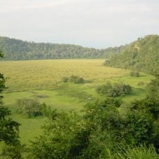
The best time for wildlife viewing is during the dry season from July through October when animals congregate near water sources. Visitors should plan morning and late afternoon drives to maximize encounters with the animals present.
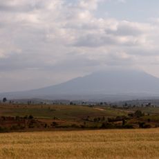
The lake's water level fluctuates dramatically with the seasons, sometimes disappearing almost entirely due to natural evaporation. These striking variations reshape the landscape and create an environment that shifts continuously throughout the year.
The community of curious travelers
AroundUs brings together thousands of curated places, local tips, and hidden gems, enriched daily by 60,000 contributors worldwide.