Bali

Log in to your account

AroundUs is a community-driven map of interesting places, built by curious explorers like you. It grows with every review, story, and photo you share.
Connect to save your favorite spots, contribute locations, and create personalized routes.
Continue with Google
Continue with Apple
Continue with X
Continue with Facebook
Continue with email
By continuing, you accept our Terms and Conditions and our Privacy Policy
Create an account
Add to collection
Map
Suggest a change
Share

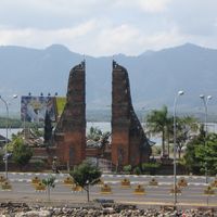
Bali, Island province in Lesser Sunda Islands, Indonesia

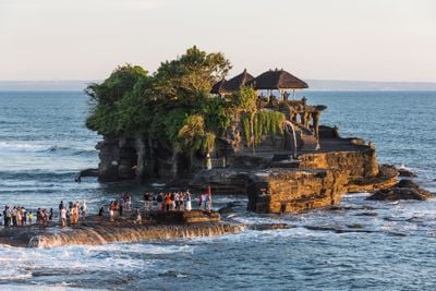
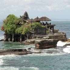
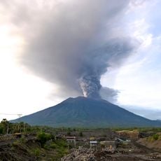
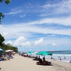
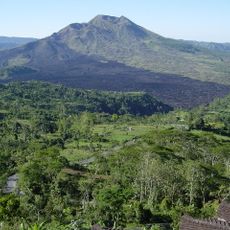
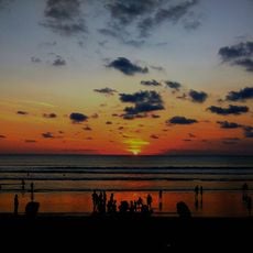
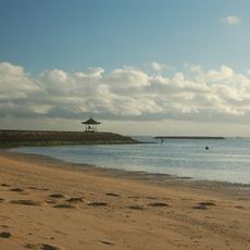
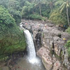
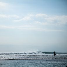
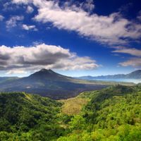
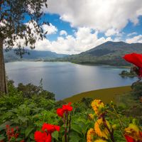
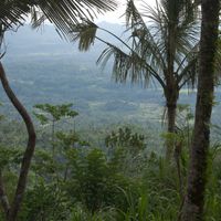
Bali is an Indonesian province between Java and Lombok with mountain landscapes, rice terraces, and coastal regions across roughly 5780 square kilometers. The landscape ranges from volcanoes in the island interior to sand beaches along the southern and eastern coasts.

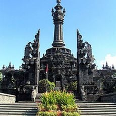
European colonization began in 1597 when Dutch explorer Cornelis de Houtman arrived, followed by military control in subsequent centuries. Independence came in 1945 with the founding of Indonesia, while the province maintained its own religious and cultural character.

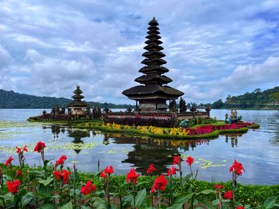
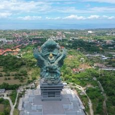
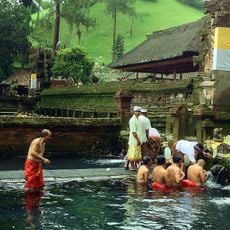
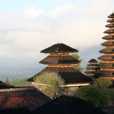
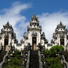
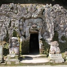
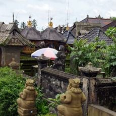
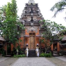
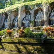
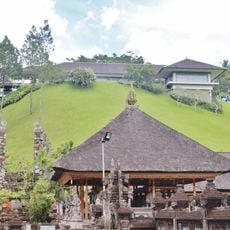
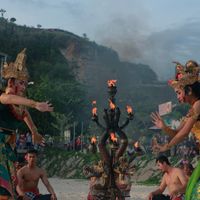
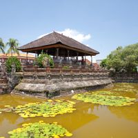
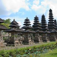
Hindu religion shapes daily life through traditional ceremonies, temple offerings, dance performances, and communal gatherings called banjar. These social structures organize everything from temple festivals to neighborhood assistance and determine the rhythm of life in every village.

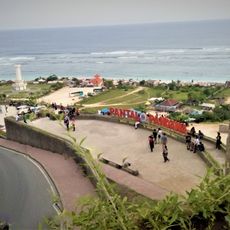
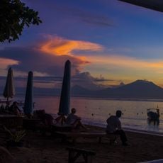
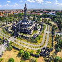
The provincial capital Denpasar holds the main airport, government offices, and commercial centers, serving as the primary entry point for visitors. The rainy season runs from November to March, while the dry season from April to October offers more favorable conditions for exploring.

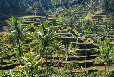
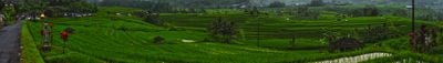
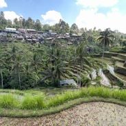
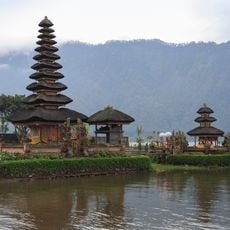
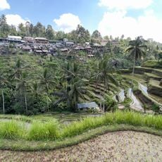
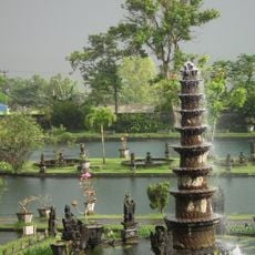
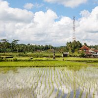
The UNESCO-recognized Subak irrigation system demonstrates agricultural engineering through water temples and cooperative water management for rice cultivation. Water distribution follows a philosophical order that connects religious rituals with practical farming.

Location: Indonesia

Inception: August 14, 1958

Capital city: Denpasar

Elevation above the sea: 73 m

Reference: BA-22

Shares border with: East Java, West Nusa Tenggara

Email: ppid@baliprov.go.id

Website: http://baliprov.go.id

GPS coordinates: -8.50000,115.00000

Latest update: December 14, 2025 21:07

Photos
Walking routes in Bali: rice terraces, volcanoes, waterfalls

Walking routes in Bali traverse rice terraces, waterfalls and temple complexes, offering access to the island's varied landscape and cultural sites. The trails range from the sculpted rice paddies of Tegallalang and Jatiluwih to the clifftop setting of Uluwatu Temple and the volcanic slopes of Mount...

Reviews

Visited this place? Tap the stars to rate it and share your experience / photos with the community! Try now! You can cancel it anytime.

« Bali - Island province in Lesser Sunda Islands, Indonesia » is provided by Around Us (aroundus.com). Images and texts are derived from Wikimedia project under a Creative Commons license. You are allowed to copy, distribute, and modify copies of this page, under the conditions set by the license, as long as this note is clearly visible.

Discover hidden gems everywhere you go!

From secret cafés to breathtaking viewpoints, skip the crowded tourist spots and find places that match your style. Our app makes it easy with voice search, smart filtering, route optimization, and insider tips from travelers worldwide. Download now for the complete mobile experience.

Around Us App Screenshot

A unique approach to discovering new places

Le Figaro

All the places worth exploring

France Info

A tailor-made excursion in just a few clicks

20 Minutes