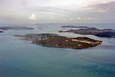
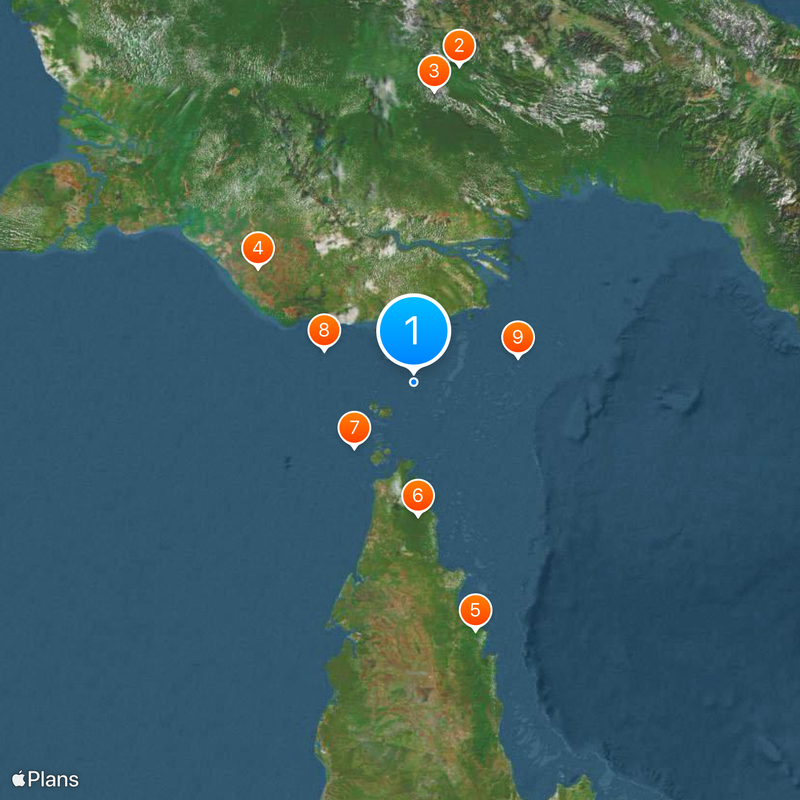
Torres Strait Islands, Island group between Cape York Peninsula and Papua New Guinea.
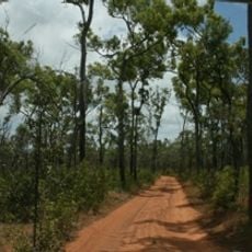
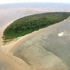
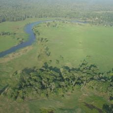
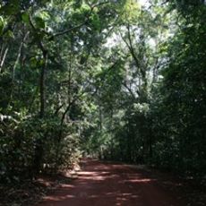
Torres Strait Islands is an island group between Cape York Peninsula and Papua New Guinea. The 274 small islands spread across 48,000 square kilometers (18,500 square miles) of water and are divided into four clusters: Top Western, Western, Central, and Eastern.
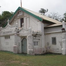
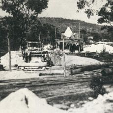
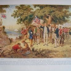
Spanish navigator Luis Váez de Torres sailed through these waters in 1606, opening European exploration of the region. Later, pearl shell fishing developed into a major industry in the strait.
The indigenous population speaks two main languages: Meriam Mir in the Eastern Islands and Kala Lagaw Ya in the Western and Central regions. This linguistic divide reflects the traditional connections between individual island clusters and their cultural roots.
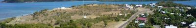
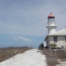
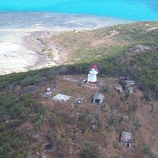
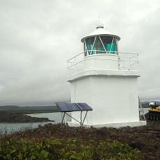
The Torres Strait Regional Authority manages administrative matters from Thursday Island, coordinating local government work across the different island clusters. Visitors should note that many islands are accessible only by boat or small aircraft.
The islands gained international attention through the Mabo case of 1992, which established indigenous land rights in Australian legal history. This precedent changed legal recognition of traditional ownership claims across the country.
The community of curious travelers
AroundUs brings together thousands of curated places, local tips, and hidden gems, enriched daily by 60,000 contributors worldwide.