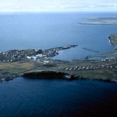
Walrus Island, National Natural Landmark in Aleutians West Census Area, US
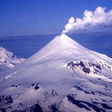
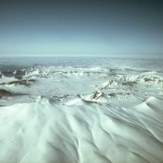
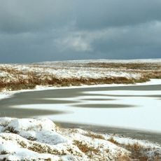
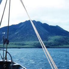
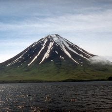
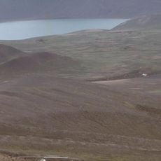
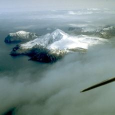
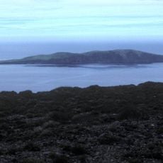
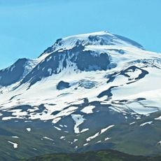
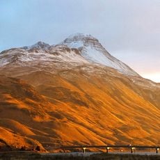
Walrus Island rises from the Bering Sea with steep rocky cliffs that define its dramatic profile above the water. The island features a barren, rocky terrain with minimal vegetation, making the harsh conditions typical of the Aleutian environment clearly visible.
Early explorers first visited the island in the 1700s, and its name came to reflect the marine life that defines the location. Human settlement here stretched back thousands of years before these early outside visits.
The island has long served as a gathering and hunting place for indigenous peoples and later visitors who relied on its rich marine resources. Over thousands of years, different groups chose to settle here, making it an important location in the history of human activity in the Bering Sea region.
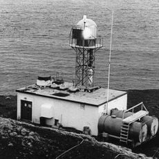
The island can be visited only with permission from the local authority that manages its protected status. Be prepared for harsh weather conditions and difficult sea and landing conditions when planning a visit.
During summer months, thousands of walruses gather on the island, making it one of the most important gathering points for these marine mammals in the region. This seasonal congregation is a remarkable natural event that occurs only during the warmer months.
The community of curious travelers
AroundUs brings together thousands of curated places, local tips, and hidden gems, enriched daily by 60,000 contributors worldwide.