Chest opened
+${chestReward.xp} XP
Explorer
NOUVEAU ×${chestReward.collectible.quantity}
tapez pour fermer
Chest locked

Open chests in the app

Around Us is built for your phone — chests unlock when you walk, explore and capture nearby places.

Enable Location

We need your location to show you interesting places around you

Discover nearby places

Find interesting locations and hidden gems around you

Precise directions

Get accurate directions and distances to places

Your location is never shared with other users. It's only used when you tap the location button.

Sierra Madre de Oaxaca

Log in to your account

Start exploring — it's free

Trusted by 73,000 travelers worldwide

Continue with Google
Continue with Apple
or

We will send you a code to connect

By continuing, you accept our Terms and Conditions and our Privacy Policy

Check your inbox

We've sent a pincode in your inbox. Please enter the code below.

Sierra Madre de Oaxaca
Discussion Reviews 1 Photos
14.4k Popularity

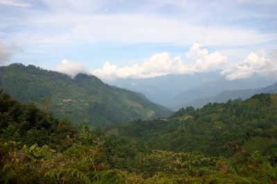
Sierra Madre de Oaxaca, Mountain range in Tlacolula de Matamoros Municipality, Mexico.

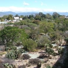
The Sierra Madre de Oaxaca is a mountain range stretching across southern Mexico, reaching elevations around 3,396 meters at its highest points. It creates a natural divide between wetter eastern slopes facing the Gulf and drier western valleys.

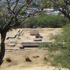
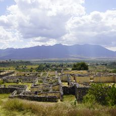
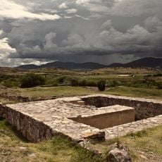
Human communities first settled in this mountain range more than 10,000 years ago, as shown by remains found in caves and rock shelters. It played a central role in the early development of agriculture in Mesoamerica.

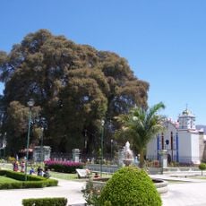
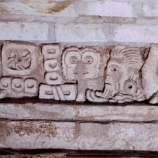
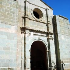
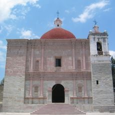
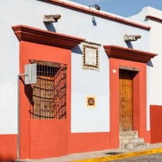
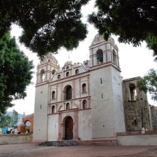
Multiple indigenous peoples have called this mountain range home for millennia. Zapotec and Mazatec communities continue to live here, maintaining their languages, farming methods, and local customs that shape daily life.

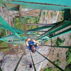
The eastern slopes tend to be much wetter than the western valleys, so planning activities and clothing accordingly makes sense. Higher elevations demand good equipment and time to adjust, particularly if you plan to hike or explore the terrain.

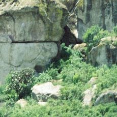
Beneath the surface lie cave networks that geologists recognize for their scale and complexity. These underground formations made of limestone harbor rare plants and animals found nowhere else on Earth.

The community of curious travelers

AroundUs brings together thousands of curated places, local tips, and hidden gems, enriched daily by 60,000 contributors worldwide.

Start exploring
Elevation above the sea
3,396 m
GPS coordinates
17.00000,-96.50000
Latest update
December 7, 2025 20:21
Reviews
Share your experience

No review yet

Discussions
Start a discussion...

No discussion yet

« Sierra Madre de Oaxaca - Mountain range in Tlacolula de Matamoros Municipality, Mexico » is provided by Around Us (aroundus.com). Images and texts are derived from Wikimedia project under a Creative Commons license. You are allowed to copy, distribute, and modify copies of this page, under the conditions set by the license, as long as this note is clearly visible.

Discover hidden gems everywhere you go!

From secret cafés to breathtaking viewpoints, skip the crowded tourist spots and find places that match your style. Our app makes it easy with voice search, smart filtering, route optimization, and insider tips from travelers worldwide. Download now for the complete mobile experience.

Around Us App Screenshot

A unique approach to discovering new places

Le Figaro

All the places worth exploring

France Info

A tailor-made excursion in just a few clicks

20 Minutes

Around Us
Travel Guide & Maps
Download

Send to your phone

QR Code
1

Open the camera app on your mobile.

2

Point at the QR code with your camera. A notification will appear.

3

Tap the notification to open the link.