Enable Location

We need your location to show you interesting places around you

Discover nearby places

Find interesting locations and hidden gems around you

Precise directions

Get accurate directions and distances to places

Your location is never shared with other users. It's only used when you tap the location button.

Ventaquemada

Log in to your account

Start exploring — it's free

Trusted by 61,901 travelers worldwide

Continue with Google
Continue with Apple
or

We will send you a code to connect

By continuing, you accept our Terms and Conditions and our Privacy Policy

Check your inbox

We've sent a pincode in your inbox. Please enter the code below.

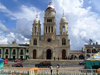
Ventaquemada, Municipality in Central Boyacá Province, Colombia.

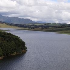
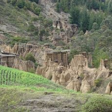
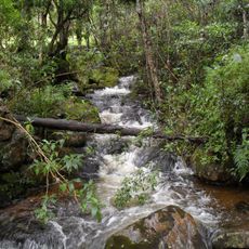
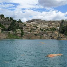
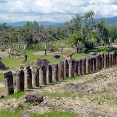
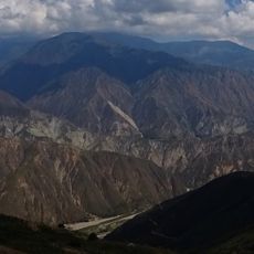
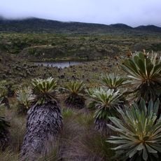
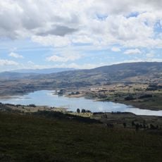
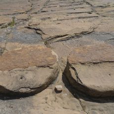
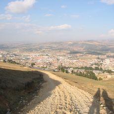
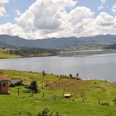
Ventaquemada is a municipality in central Boyacá Province located on a mountainous landscape at around 2,700 meters elevation. The area features agricultural fields and Andean plateaus that shape the terrain and settlement pattern.

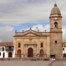
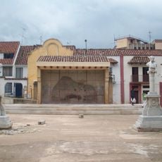
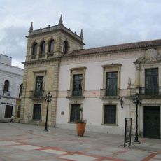
The municipality was founded by Manuel Antonio Flórez on December 17, 1777, during the Spanish colonial period when settlements were expanding through the Andean region. This founding established the basic structure that still shapes how the community is organized today.

People here maintain farming traditions passed down through generations, working the mountain soil to grow food for their families and the region. You see this way of life reflected in how the fields are organized and how the community moves through the seasons.

The municipality sits about 15 kilometers from Tunja and connects to major transportation routes linking it with other centers in Boyacá. Getting around requires traveling along mountain roads that connect the town to neighboring settlements and the department.

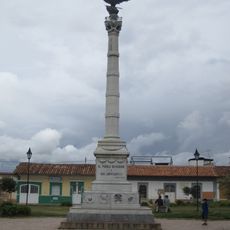
The name comes from the Chibcha language of indigenous people and shows how colonial and native cultures blended here in the Andes. This naming reflects how both groups left marks on the place that visitors can trace in the community today.

The community of curious travelers

AroundUs brings together thousands of curated places, local tips, and hidden gems, enriched daily by 60,000 contributors worldwide.

Start exploring
Inception
December 17, 1777
Founders
Manuel Antonio Flórez
Elevation above the sea
2,729 m
GPS coordinates
5.36639,-73.52194
Latest update
December 8, 2025 13:44
« Ventaquemada - Municipality in Central Boyacá Province, Colombia » is provided by Around Us (aroundus.com). Images and texts are derived from Wikimedia project under a Creative Commons license. You are allowed to copy, distribute, and modify copies of this page, under the conditions set by the license, as long as this note is clearly visible.

Discover hidden gems everywhere you go!

From secret cafés to breathtaking viewpoints, skip the crowded tourist spots and find places that match your style. Our app makes it easy with voice search, smart filtering, route optimization, and insider tips from travelers worldwide. Download now for the complete mobile experience.

Around Us App Screenshot

A unique approach to discovering new places

Le Figaro

All the places worth exploring

France Info

A tailor-made excursion in just a few clicks

20 Minutes

Around Us
Travel Guide & Maps
Download

Send to your phone

QR Code
1

Open the camera app on your mobile.

2

Point at the QR code with your camera. A notification will appear.

3

Tap the notification to open the link.