Chest opened
+${chestReward.xp} XP
Explorer
NOUVEAU ×${chestReward.collectible.quantity}
tapez pour fermer
Chest locked

Open chests in the app

Around Us is built for your phone — chests unlock when you walk, explore and capture nearby places.

Enable Location

We need your location to show you interesting places around you

Discover nearby places

Find interesting locations and hidden gems around you

Precise directions

Get accurate directions and distances to places

Your location is never shared with other users. It's only used when you tap the location button.

Ramiriquí

Log in to your account

Start exploring — it's free

Trusted by 72,882 travelers worldwide

Continue with Google
Continue with Apple
or

We will send you a code to connect

By continuing, you accept our Terms and Conditions and our Privacy Policy

Check your inbox

We've sent a pincode in your inbox. Please enter the code below.

Discussion Reviews 1 Photos
14.3k Popularity

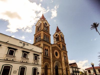
Ramiriquí, Municipal administrative center in Márquez Province, Colombia

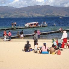
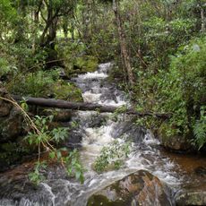
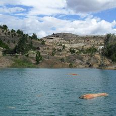
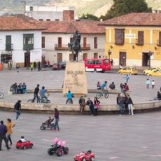
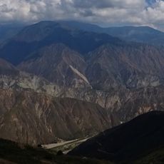
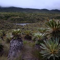
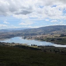
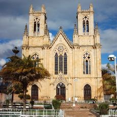
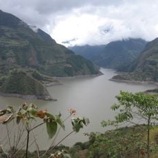
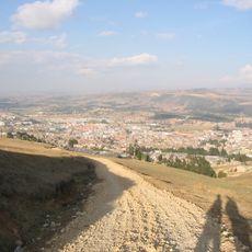
Ramiriquí is a municipality in Márquez Province in the Colombian Andes at an elevation of about 2300 meters. The territory spreads across rolling terrain with fields where uchuva, tree tomatoes, cucumbers, beans, blackberries, and maize are cultivated.

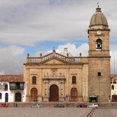
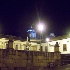
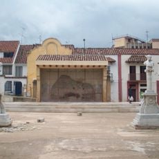
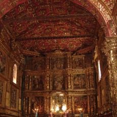
A Spanish Franciscan friar named Pedro Durán founded this settlement on December 21, 1541, in an area that was previously home to the Muisca people. The founding marked the start of Spanish colonial rule in this mountain region.

The name Ramiriquí comes from the Chibcha language and refers to a regional leader from the past. People here live in a mountain village where farming traditions shape daily life and remain central to the community.

The village sits in hilly mountain terrain with paths that run through farmland and are accessible on foot or by local routes. Visitors should prepare for cool weather and wear sturdy footwear, as paths can become slippery during the wet season.

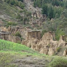
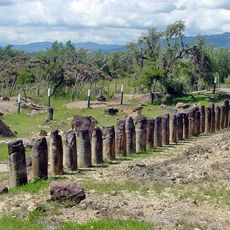
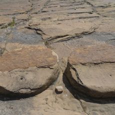
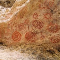
Ancient rock carvings have been found within the municipality boundaries, showing that the region was inhabited long before the Spanish arrived. These petroglyphs offer a window into the artistic and cultural life of the early Andean people who lived here.

The community of curious travelers

AroundUs brings together thousands of curated places, local tips, and hidden gems, enriched daily by 60,000 contributors worldwide.

Start exploring
Inception
1541
Elevation above the sea
2,308 m
GPS coordinates
5.40083,-73.33556
Latest update
December 7, 2025 20:22
Reviews
Share your experience

No review yet

Discussions
Start a discussion...

No discussion yet

« Ramiriquí - Municipal administrative center in Márquez Province, Colombia » is provided by Around Us (aroundus.com). Images and texts are derived from Wikimedia project under a Creative Commons license. You are allowed to copy, distribute, and modify copies of this page, under the conditions set by the license, as long as this note is clearly visible.

Discover hidden gems everywhere you go!

From secret cafés to breathtaking viewpoints, skip the crowded tourist spots and find places that match your style. Our app makes it easy with voice search, smart filtering, route optimization, and insider tips from travelers worldwide. Download now for the complete mobile experience.

Around Us App Screenshot

A unique approach to discovering new places

Le Figaro

All the places worth exploring

France Info

A tailor-made excursion in just a few clicks

20 Minutes

Around Us
Travel Guide & Maps
Download

Send to your phone

QR Code
1

Open the camera app on your mobile.

2

Point at the QR code with your camera. A notification will appear.

3

Tap the notification to open the link.