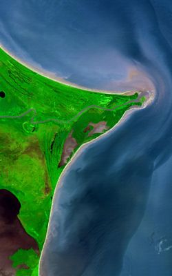
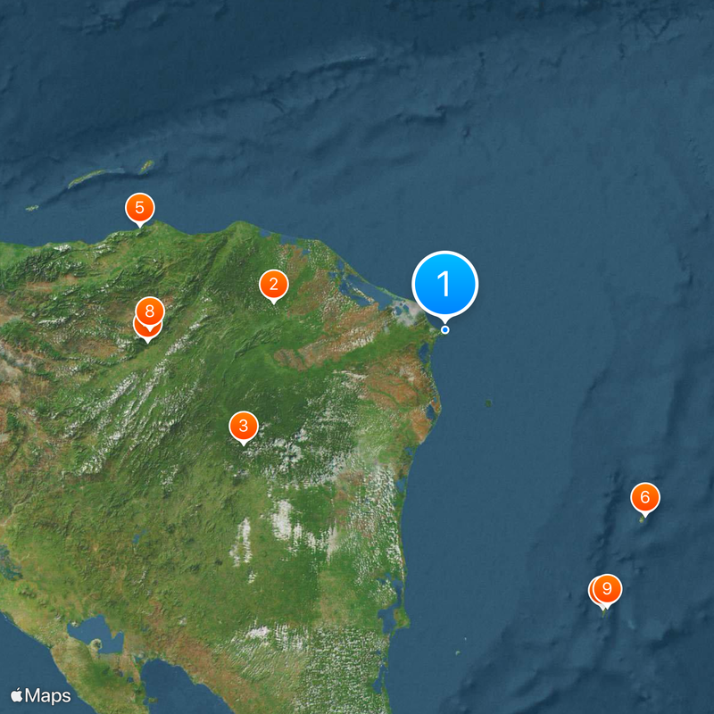
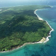
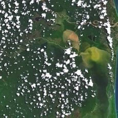
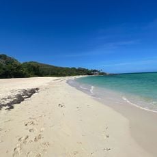
Coco River, Border river in Central America, Honduras and Nicaragua.
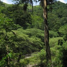
The Coco River is a transnational waterway in Central America that runs for over 800 kilometers through mountain regions and lowlands before emptying into the Caribbean Sea. The water flows through varied landscapes and multiple regions of both countries on its way to the ocean.
The river became the official boundary between Honduras and Nicaragua in the early 1960s after lengthy negotiations between the two countries. This border agreement shaped the region's political map and has influenced relations between the nations ever since.
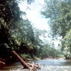
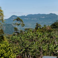
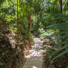
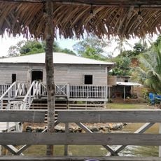
The Miskito and other indigenous groups have lived along the riverbanks for generations, using the water for fishing and daily needs. Today small settlements and boats still show how central this river remains to local life.
The river is partially navigable and used by local communities for transporting goods and materials. The best time to visit is during the rainy season when water levels are higher and boat travel becomes easier.
During Hurricane Felix in 2007, the water rose dramatically and revealed the river's vulnerability to extreme weather. These floods have shaped the valley over time and continue to influence how people in the region live and adapt.
The community of curious travelers
AroundUs brings together thousands of curated places, local tips, and hidden gems, enriched daily by 60,000 contributors worldwide.