Tonantzintla, settlement in Cholula, Mexico
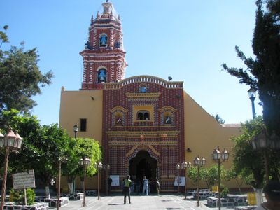
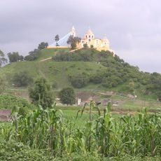
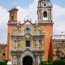
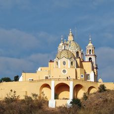
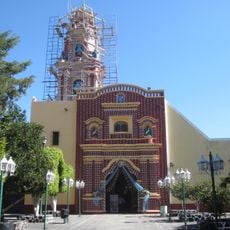
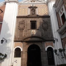
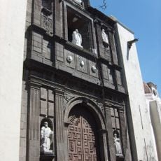
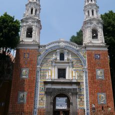
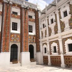
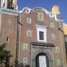
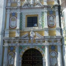
Tonantzintla is a small settlement in Puebla located on elevated terrain with gentle hills and simple houses along quiet streets. The community has several chapels and a main church from the 16th century featuring baroque decoration that blends indigenous and Spanish architectural elements.
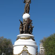
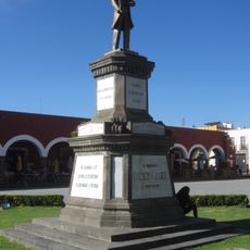
The settlement was established during the colonial period with its main church built in the 16th century. The community developed as a place of worship and gathering where indigenous and Spanish cultures blended over centuries.
The name comes from Nahuatl and means "place of our venerable mother". The community shows a blend of indigenous and Spanish traditions through its local celebrations, processions, and religious festivals that continue today.
The settlement is easy to reach by car or bus from Puebla city, located about 6 miles (10 kilometers) southwest. Exploring on foot is best to fully experience the quiet charm, and the church is open daily from morning until afternoon.
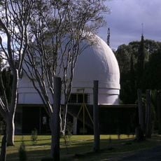
An astronomical observatory was founded in 1942 by Luis Enrique Erro, bringing scientific research to this rural area. The institute continues operating today and joins the town's traditions with modern science.
The community of curious travelers
AroundUs brings together thousands of curated places, local tips, and hidden gems, enriched daily by 60,000 contributors worldwide.