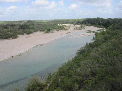
Nueces River, River system in southern Texas, United States
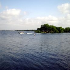
The waterway stretches roughly 315 miles from the Edwards County area through Texas Hill Country before reaching the Gulf of Mexico at Corpus Christi Bay. The river flows through multiple counties and has been dammed in places, with Lake Corpus Christi serving as a water storage point for nearby communities.
The waterway served as a disputed boundary between Texas and Mexico, and tensions over this border contributed to military conflict in the 1840s. These disputes permanently changed control of the land and resources in the region.
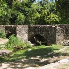
The name comes from pecan trees that once lined the banks and caught the attention of Spanish explorers in the region. Walking along the waterway today, you can still see how trees and vegetation shape the landscape and define the character of the area.
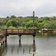
The waterway and its reservoirs are readily accessible for fishing, boating, and outdoor recreation along much of its course. Plan your visit during cooler months when conditions are more comfortable and water levels tend to be more stable.
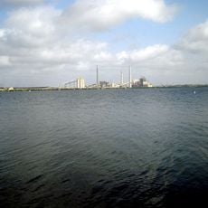
The waterway flows through one of Texas's driest regions and produces far less water annually than most other major river systems in the state. Despite these harsh conditions, it remains essential for supporting communities in this arid landscape.
The community of curious travelers
AroundUs brings together thousands of curated places, local tips, and hidden gems, enriched daily by 60,000 contributors worldwide.