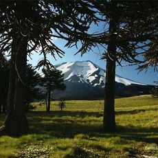
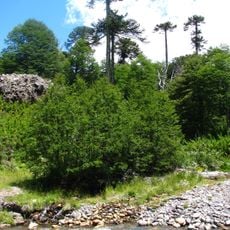
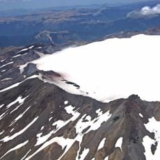
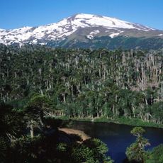
Cerro Pelado, Mountain in Neuquén Province, Argentina
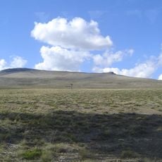
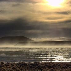
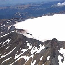
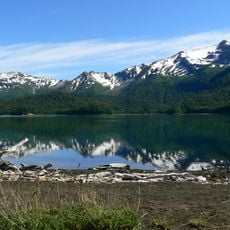
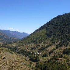
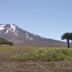
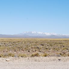
Cerro Pelado is a hill of 733 metres in Neuquén Province, about 1,100 km southwest of Buenos Aires and 19.3 km east of Mariano Moreno. The terrain around it is hilly, with a higher point of 772 metres about 1.3 km to the north, and the surrounding area is thinly populated.
The mountain formed as part of Patagonia's geological structure shaped by millions of years of tectonic activity and erosion. For early inhabitants of the region, this high terrain served as an important landmark in the vast plateau.
Local inhabitants of Neuquén Province include this mountain in their geographical references when discussing regional landmarks and natural formations.
The mountain is best visited during the warmer months from December to February when conditions are more favorable for exploring the area. Provincial routes from nearby towns provide the main ways to reach this location.
Cerro Pelado is a hill (cerro) reaching 733 metres above sea level, about 1,100 km west-southwest of Buenos Aires and 19.3 km east of the town of Mariano Moreno. The surrounding terrain is hilly, with a higher point of 772 metres about 1.3 km to the north.
The community of curious travelers
AroundUs brings together thousands of curated places, local tips, and hidden gems, enriched daily by 94,417 contributors worldwide.