Enable Location

We need your location to show you interesting places around you

Discover nearby places

Find interesting locations and hidden gems around you

Precise directions

Get accurate directions and distances to places

Your location is never shared with other users. It's only used when you tap the location button.

Interstate 4

Log in to your account

Start exploring — it's free

Trusted by 62,140 travelers worldwide

Continue with Google
Continue with Apple
or

We will send you a code to connect

By continuing, you accept our Terms and Conditions and our Privacy Policy

Check your inbox

We've sent a pincode in your inbox. Please enter the code below.

Interstate 4

Interstate 4, Interstate highway in Hillsborough County and Volusia County, United States

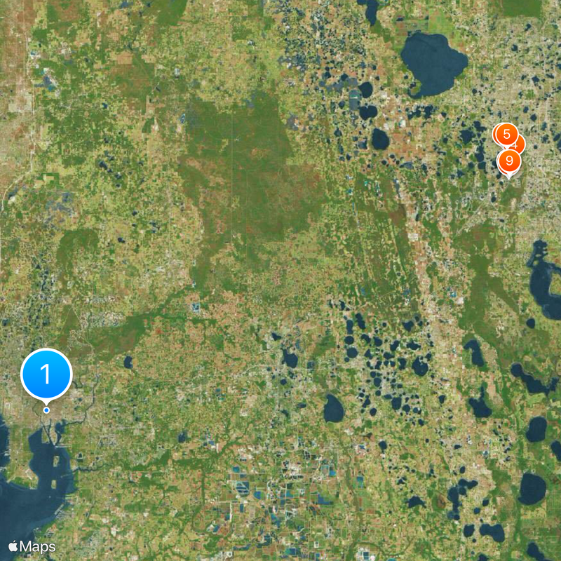
Interstate 4 is a highway in Florida extending roughly 132 miles (212 kilometers) from Tampa on the west coast to Daytona Beach on the Atlantic shore. The route passes through six counties and crosses major cities such as Lakeland, Orlando, and Sanford along the way.

The first construction segments were laid down in the late 1950s, with the opening of an initial section in 1959. By the mid-1960s, the entire route was completed and allowed continuous travel between both coasts of central Florida.

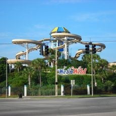
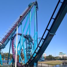
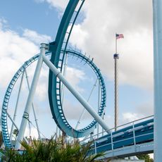
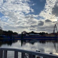
This highway crosses through densely developed metro areas and links several theme parks to surrounding towns. Along the route, shopping malls and housing developments have shaped the growth of central Florida's population centers.

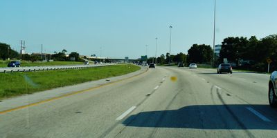
Those using the route will find numerous connections to other highways along with regularly spaced rest stops and fuel stations. Traffic is typically heavy, particularly around rush hours and on weekends near the Orlando area.

In the central stretch between Tampa and Orlando, the two directional carriageways run separately through different terrain strips, creating a wide median between them. This space was originally reserved for a high-speed rail system and is now intended for use by a private passenger train operator.

The community of curious travelers

AroundUs brings together thousands of curated places, local tips, and hidden gems, enriched daily by 60,000 contributors worldwide.

Start exploring
Location
Location
Location
Location
Location
Inception
1959
GPS coordinates
27.96472,-82.45278
Latest update
December 13, 2025 16:33
Around this place
Show the full map
« Interstate 4 - Interstate highway in Hillsborough County and Volusia County, United States » is provided by Around Us (aroundus.com). Images and texts are derived from Wikimedia project under a Creative Commons license. You are allowed to copy, distribute, and modify copies of this page, under the conditions set by the license, as long as this note is clearly visible.

Discover hidden gems everywhere you go!

From secret cafés to breathtaking viewpoints, skip the crowded tourist spots and find places that match your style. Our app makes it easy with voice search, smart filtering, route optimization, and insider tips from travelers worldwide. Download now for the complete mobile experience.

Around Us App Screenshot

A unique approach to discovering new places

Le Figaro

All the places worth exploring

France Info

A tailor-made excursion in just a few clicks

20 Minutes

Around Us
Travel Guide & Maps
Download

Send to your phone

QR Code
1

Open the camera app on your mobile.

2

Point at the QR code with your camera. A notification will appear.

3

Tap the notification to open the link.