Crissey Field State Recreation Site
Crissey Field State Recreation Site, State recreation area in Curry County, Oregon.
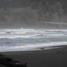
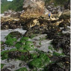
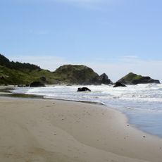
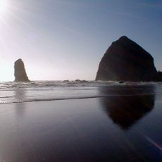
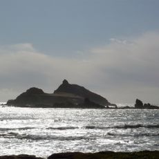
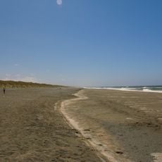
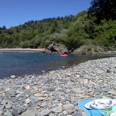
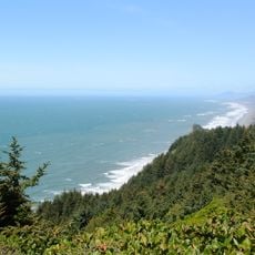
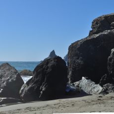
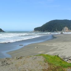
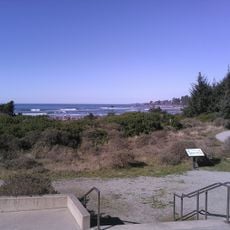
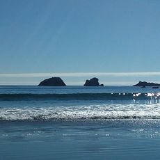
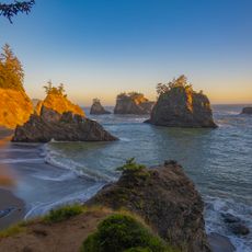
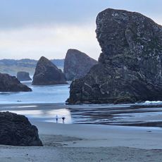
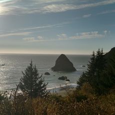
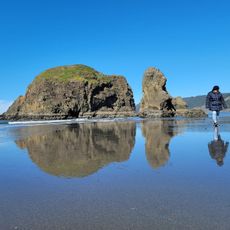
Crissey Field is a state recreation area featuring sandy beaches and wetland habitats along the Pacific Ocean near the Oregon-California border. Natural trails wind through the site, providing walking paths with coastal views throughout the landscape.
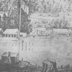
The site takes its name from W.L. Crissey, who grew lily bulbs on the land before World War II. A state-line airstrip operated here until 1960, marking a significant period of the location's past use.
The Welcome Center demonstrates environmental stewardship through solar panels generating 20,000 kilowatt hours annually and implementing natural temperature regulation systems.
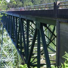
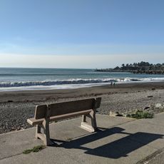
The site sits just off Highway 101 south of Brookings, accessible after crossing the Winchuck River Bridge. Flat terrain makes it easy to walk around, and the shoreline is reachable without climbing or strenuous effort.
The location marks Oregon's southwestern tip and serves as the first beach access when entering the state from California. This geographic position makes it a notable arrival point for travelers crossing the border.
Location: Curry County
Website: https://stateparks.oregon.gov/index.cfm?do=park.profile&parkId=53
GPS coordinates: 42.00167,-124.21083
Latest update: December 14, 2025 09:41
Redwood National and State Parks
54.1 km
Jedediah Smith Redwoods State Park
26.1 km
Del Norte Coast Redwoods State Park
38.2 km
St. George Reef Light
22.9 km
Lost Monarch
25.7 km
Battery Point Light
28.7 km
Harris Beach State Park
10.8 km
Samuel H. Boardman State Scenic Corridor
17.7 km
Kalmiopsis Wilderness
37.3 km
Smith River National Recreation Area
40.2 km
Oregon Islands National Wildlife Refuge
31.9 km
Castle Rock National Wildlife Refuge
26.9 km
Thomas Creek Bridge
22 km
Tolowa Dunes State Park
15.1 km
Alfred A. Loeb State Park
12.5 km
Cape Sebastian State Scenic Corridor
40.9 km
Lone Ranch Beach
15.3 km
Pistol River State Scenic Viewpoint
34.4 km
Camp Lincoln
21.2 km
Gasquet Ranger Station Historic District
26.8 km
Crissey Field State Recreation Site
42 m
Pebble Beach
26.4 km
Secret Beach
25.3 km
Sporthaven Beach
6.1 km
Meyers Creek Beach Viewpoint
38.5 km
Harris Sate Park Campground
11 km
Whaleshead Beach
19.1 km
Meyers Creek Pullout South
37.6 kmVisited this place? Tap the stars to rate it and share your experience / photos with the community! Try now! You can cancel it anytime.
Discover hidden gems everywhere you go!
From secret cafés to breathtaking viewpoints, skip the crowded tourist spots and find places that match your style. Our app makes it easy with voice search, smart filtering, route optimization, and insider tips from travelers worldwide. Download now for the complete mobile experience.
A unique approach to discovering new places❞
— Le Figaro
All the places worth exploring❞
— France Info
A tailor-made excursion in just a few clicks❞
— 20 Minutes