Chest opened
+${chestReward.xp} XP
Explorer
NOUVEAU ×${chestReward.collectible.quantity}
tapez pour fermer
Chest locked

Open chests in the app

Around Us is built for your phone — chests unlock when you walk, explore and capture nearby places.

Enable Location

We need your location to show you interesting places around you

Discover nearby places

Find interesting locations and hidden gems around you

Precise directions

Get accurate directions and distances to places

Your location is never shared with other users. It's only used when you tap the location button.

Log in to your account

Start exploring — it's free

Trusted by 73,088 travelers worldwide

Continue with Google
Continue with Apple
or

We will send you a code to connect

By continuing, you accept our Terms and Conditions and our Privacy Policy

Check your inbox

We've sent a pincode in your inbox. Please enter the code below.

Port of Brookings Harbor
Discussion Reviews Photo
2.1k Popularity

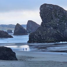
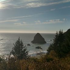
Port of Brookings Harbor, Maritime port in southern Oregon, United States

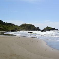
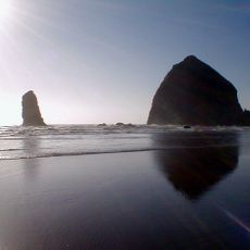
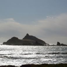
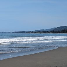
The Port of Brookings Harbor is a maritime facility in southern Oregon with two separate boat basins connected by navigable channels and docking infrastructure. The facility serves both commercial fishing operations and recreational boaters, offering boat launches, mooring areas, and direct access to Pacific fishing grounds.

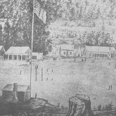
The harbor was originally developed to support the region's expanding fishing industry and to serve as a key commercial hub for maritime commerce. The construction of its two-basin structure with modern docking infrastructure enabled the port to accommodate both commercial and recreational operations from its early development onward.

The harbor serves as a gathering place where the local fishing community and visitors share daily maritime routines and traditions. You can see families watching boats come and go, fishermen preparing their gear, and people walking along the docks to experience the working waterfront.

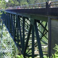
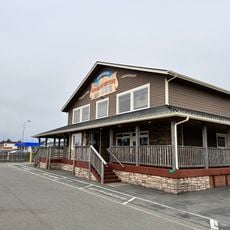
You will find multiple boat launch areas, equipment rental shops, and fresh seafood markets easily accessible from the Chetco River Bridge area. The facility is clearly marked, though tidal conditions affect access to certain docking areas at different times of day.

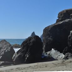
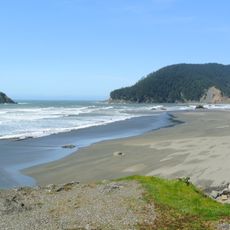
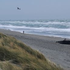
The harbor's waters are fed by cold Pacific currents that attract an unusually diverse range of marine life including seals, sea lions, and seabirds. This makes the waterfront a rewarding spot for observing and photographing the area's abundant coastal wildlife without leaving the dock area.

The community of curious travelers

AroundUs brings together thousands of curated places, local tips, and hidden gems, enriched daily by 60,000 contributors worldwide.

Start exploring
Location
GPS coordinates
42.04760,-124.26900
Latest update
December 13, 2025 17:01
Around this place
Redwood National and State Parks
United States of America

Redwood National and State Parks

60.3 km
Jedediah Smith Redwoods State Park
United States of America

Jedediah Smith Redwoods State Park

32.7 km
St. George Reef Light
United States of America

St. George Reef Light

25.1 km
Lost Monarch
United States of America

Lost Monarch

32.4 km
Battery Point Light
United States of America

Battery Point Light

34.2 km
Harris Beach State Park
United States of America

Harris Beach State Park

3.8 km
Samuel H. Boardman State Scenic Corridor
United States of America

Samuel H. Boardman State Scenic Corridor

10.7 km
Oregon Islands National Wildlife Refuge
United States of America

Oregon Islands National Wildlife Refuge

25.2 km
Castle Rock National Wildlife Refuge
United States of America

Castle Rock National Wildlife Refuge

31.9 km
Pelican State Beach
United States of America

Pelican State Beach

7.8 km
Thomas Creek Bridge
United States of America

Thomas Creek Bridge

15.1 km
Tolowa Dunes State Park
United States of America

Tolowa Dunes State Park

20.9 km
Alfred A. Loeb State Park
United States of America

Alfred A. Loeb State Park

9.8 km
Cape Sebastian State Scenic Corridor
United States of America

Cape Sebastian State Scenic Corridor

34.3 km
Lone Ranch Beach
United States of America

Lone Ranch Beach

8.3 km
Pistol River State Scenic Viewpoint
United States of America

Pistol River State Scenic Viewpoint

27.7 km
Good Harvest Cafe
United States of America

Good Harvest Cafe

33.8 km
Camp Lincoln
United States of America

Camp Lincoln

27.6 km
Gasquet Ranger Station Historic District
United States of America

Gasquet Ranger Station Historic District

33.8 km
Crissey Field State Recreation Site

Crissey Field State Recreation Site

7 km
Pebble Beach
United States of America

Pebble Beach

31.6 km
Secret Beach
United States of America

Secret Beach

18.5 km
Sporthaven Beach
United States of America

Sporthaven Beach

918 m
Meyers Creek Beach Viewpoint
United States of America

Meyers Creek Beach Viewpoint

31.8 km
Harris Sate Park Campground
United States of America

Harris Sate Park Campground

4 km
Whaleshead Beach
United States of America

Whaleshead Beach

12.1 km
Kellogg Road Beach
United States of America

Kellogg Road Beach

20.4 km
Meyers Creek Pullout South
United States of America

Meyers Creek Pullout South

31 km
Show the full map
Reviews
Share your experience

No review yet

Discussions
Start a discussion...

No discussion yet

« Port of Brookings Harbor - Maritime port in southern Oregon, United States » is provided by Around Us (aroundus.com). Images and texts are derived from Wikimedia project under a Creative Commons license. You are allowed to copy, distribute, and modify copies of this page, under the conditions set by the license, as long as this note is clearly visible.

Discover hidden gems everywhere you go!

From secret cafés to breathtaking viewpoints, skip the crowded tourist spots and find places that match your style. Our app makes it easy with voice search, smart filtering, route optimization, and insider tips from travelers worldwide. Download now for the complete mobile experience.

Around Us App Screenshot

A unique approach to discovering new places

Le Figaro

All the places worth exploring

France Info

A tailor-made excursion in just a few clicks

20 Minutes

Around Us
Travel Guide & Maps
Download

Send to your phone

QR Code
1

Open the camera app on your mobile.

2

Point at the QR code with your camera. A notification will appear.

3

Tap the notification to open the link.