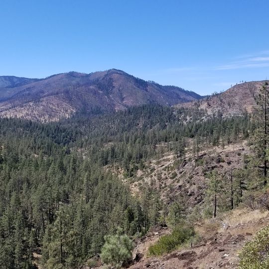
Rogue River–Siskiyou National Forest, National forest and protected areas in Oregon and California, US
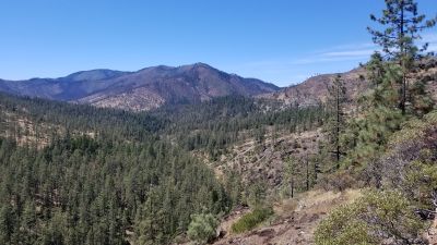
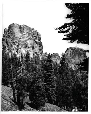
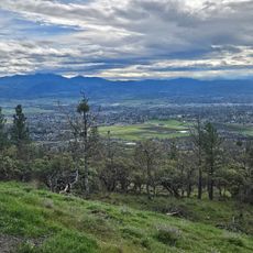
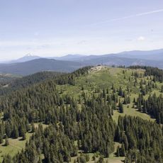
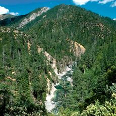
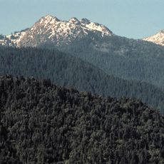
Rogue River-Siskiyou National Forest is a national forest and group of protected areas spanning southwestern Oregon and a portion of northern California, reaching from the Cascade Range through the Siskiyou Mountains toward the Pacific coast. It covers two main sections of land with rivers, mountains, high desert zones, and old-growth forest.
The Siskiyou National Forest was established on October 5, 1906, and absorbed Coquille National Forest on July 1, 1908. The Rogue River side began as the Ashland Forest Reserve, created September 28, 1893; it became a national forest in 1907, was renamed Rogue River on July 9, 1932, and the two forests were administratively combined in 2004. On September 9, 1942, a Japanese plane bombed Mount Emily in the Siskiyou forest, starting a fire that forest service employees put out.
The forest is easily reached from nearby cities like Medford, Grants Pass, and Ashland via Interstate 5, with different entry points leading to different sections. Some areas may be temporarily closed for wildfire preparedness or other reasons, so checking road and weather conditions before heading out is a good idea.
In 2002 the Biscuit Fire burned nearly 500,000 acres, including much of the Kalmiopsis Wilderness. The forest also holds the world's tallest pine, a ponderosa measured at 268.35 feet (81.79 m). A 1993 Forest Service study estimated 539 sq mi of old growth, some in the Red Buttes Wilderness.
The community of curious travelers
AroundUs brings together thousands of curated places, local tips, and hidden gems, enriched daily by 93,658 contributors worldwide.