Pacific Border, Physiographic province along Pacific Ocean, United States
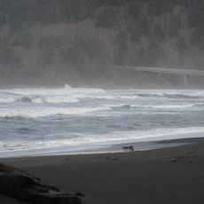
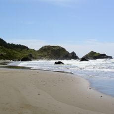
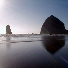
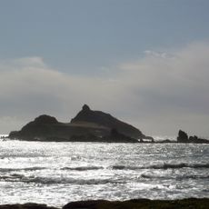
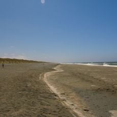
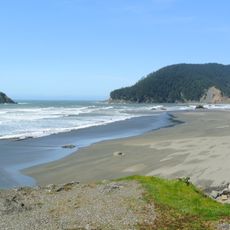
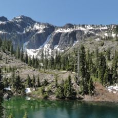
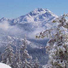
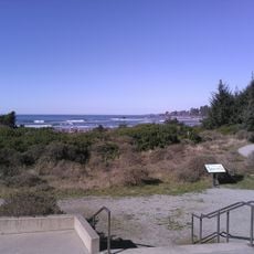
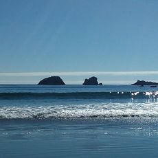
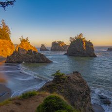
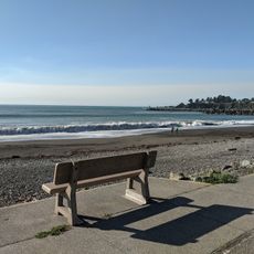
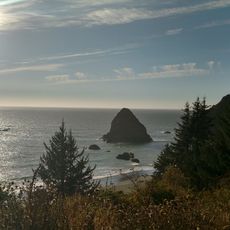
The Pacific Border stretches along America's western coast as a complex landscape of mountains, valleys, and coastal plains extending from Washington to southern California. The terrain alternates between elevated ridges and lower elevations, creating a varied pattern throughout this expansive region.
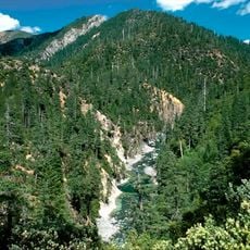
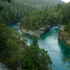
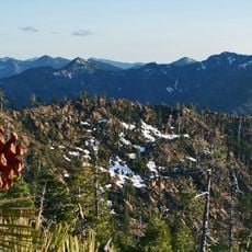
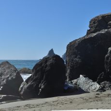
Tectonic activity over millions of years created the north-south mountain ridges and deep valleys that define this region today. These ongoing geological processes continue to shape and influence the landscape's character.
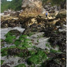
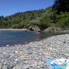
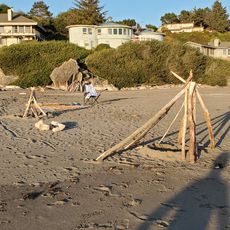
Indigenous peoples shaped life here by drawing on ocean resources and forest lands, traditions that remain visible in how communities interact with the landscape today. These practices reflect deep roots connecting people to this region.
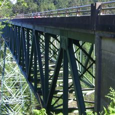
This region is connected by major highways and scenic routes that provide access to multiple national parks including Olympic and Redwood. Weather and road conditions vary significantly between northern and southern sections, so plan accordingly for your visit.
The California trough section holds thick layers of sediment that support major agricultural production across vast areas. This unusual fertile strip within a predominantly mountainous region supports farming that feeds much of the nation.
The community of curious travelers
AroundUs brings together thousands of curated places, local tips, and hidden gems, enriched daily by 60,000 contributors worldwide.