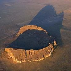
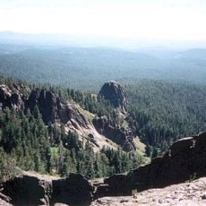
Burma Rim, Cliff formation in Lake County, Oregon.
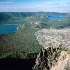
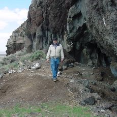
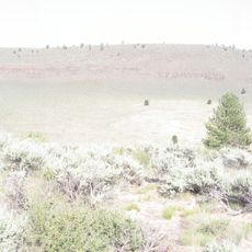
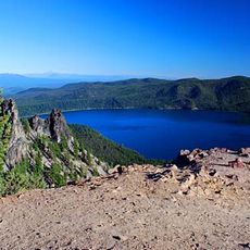
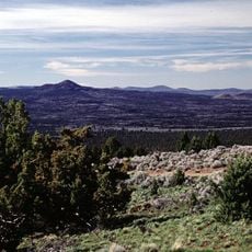
Burma Rim is a cliff formation in Lake County, Oregon, stretching across the eastern landscape with steep rock faces and natural stone formations rising from the desert floor. The escarpment creates a dramatic ridge visible from multiple vantage points across the surrounding terrain.
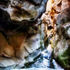
The cliff formation developed millions of years ago through volcanic activity that shaped eastern Oregon's high plateau. Erosion and weathering have since carved the steep edges and rock patterns visible today.
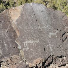
Native American tribes of the region used Burma Rim as a navigational landmark while traveling through the high desert territories of eastern Oregon.
The location is remote and you should bring plenty of water and navigation tools since there are no services or facilities available on-site. Cell phone coverage does not work in this area, so plan your visit carefully before heading out.
From the ridge you can observe where the high desert landscape shifts into forested zones of Lake County, revealing the geographic diversity of this region. Many visitors notice this ecological transition only when standing at the highest points.
The community of curious travelers
AroundUs brings together thousands of curated places, local tips, and hidden gems, enriched daily by 60,000 contributors worldwide.