
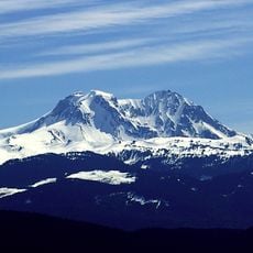
Carter Glacier, glacier in British Columbia, Canada
Location: British Columbia
Elevation above the sea: 2,123 m
GPS coordinates: 50.14971,-122.66939
Latest update: May 29, 2025 23:57
Mount Garibaldi
41 km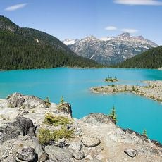
Joffre Lakes Provincial Park
25.6 km
Garibaldi Provincial Park
26.6 km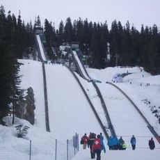
Whistler Olympic Park
32.1 km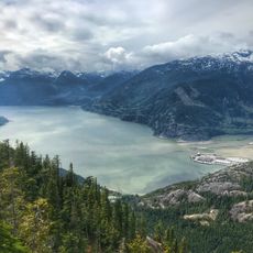
Sea-to-Sky Corridor
42.8 km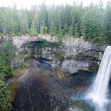
Brandywine Falls Provincial Park
34.5 km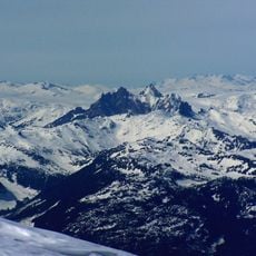
Mount Cayley
44.5 km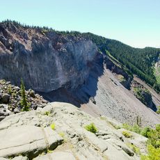
The Barrier
37.9 km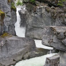
Nairn Falls Provincial Park
19.2 km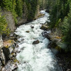
Cheakamus River
26.8 km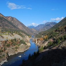
Lillooet River
23.4 km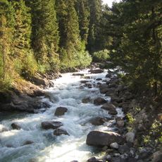
Cayoosh Creek
49.9 km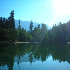
Birkenhead Lake Provincial Park
48.6 km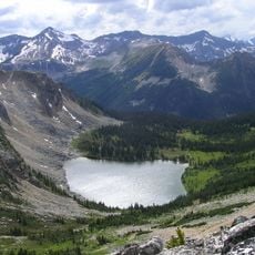
Stein Valley Nlaka'pamux Heritage Park
49 km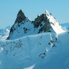
Mount Fee
41.7 km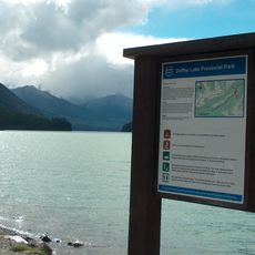
Duffey Lake Provincial Park
36.7 km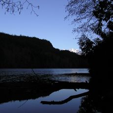
Alice Lake Provincial Park
51.9 km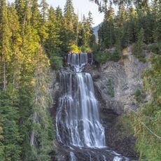
Alexander Falls
32.8 km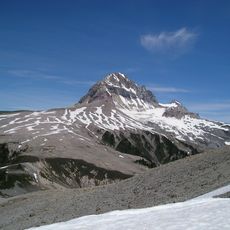
Atwell Peak
41.9 km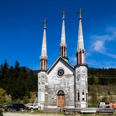
Church of the Holy Cross, Skatin
30.2 km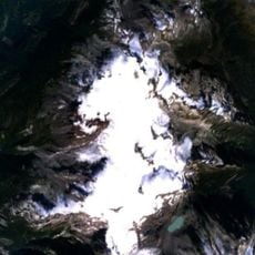
Powder Mountain Icefield
43.3 km
Green River
17.1 km
Birkenhead River
36.8 km
Blackcomb Glacier Provincial Park
15.8 km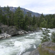
Stein River
51.5 km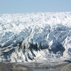
Garibaldi Névé
40.2 km
Gallery and Gift Shop
20.2 km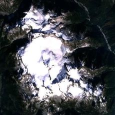
Mamquam Icefield
42 kmReviews
Visited this place? Tap the stars to rate it and share your experience / photos with the community! Try now! You can cancel it anytime.
Discover hidden gems everywhere you go!
From secret cafés to breathtaking viewpoints, skip the crowded tourist spots and find places that match your style. Our app makes it easy with voice search, smart filtering, route optimization, and insider tips from travelers worldwide. Download now for the complete mobile experience.

A unique approach to discovering new places❞
— Le Figaro
All the places worth exploring❞
— France Info
A tailor-made excursion in just a few clicks❞
— 20 Minutes