
Lillooet A, Meteorological Service of Canada's automatic station for Lillooet A (MSC ID: 11146K0), British-Columbia, Canada
Location: British Columbia
Elevation above the sea: 402 m
GPS coordinates: 50.67000,-121.88000
Latest update: May 18, 2025 22:13
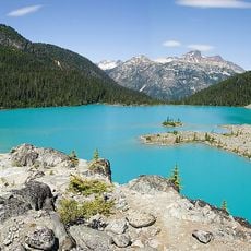
Joffre Lakes Provincial Park
55.7 km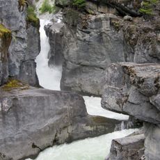
Nairn Falls Provincial Park
78.6 km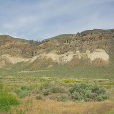
McAbee Fossil Beds
53.9 km
Bridge River
60.1 km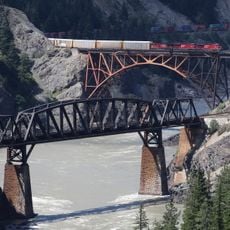
Cisco Bridges
61.5 km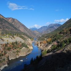
Lillooet River
75.4 km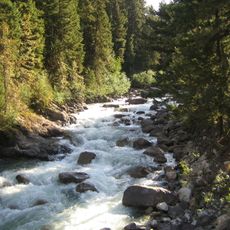
Cayoosh Creek
30.8 km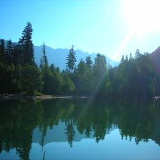
Birkenhead Lake Provincial Park
62.2 km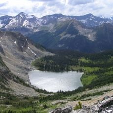
Stein Valley Nlaka'pamux Heritage Park
46.8 km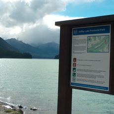
Duffey Lake Provincial Park
44.1 km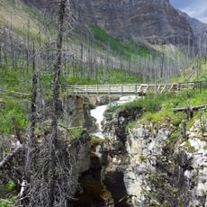
Marble Canyon
22.9 km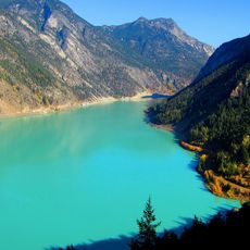
Carpenter Lake
48 km
Chasm Provincial Park
64.6 km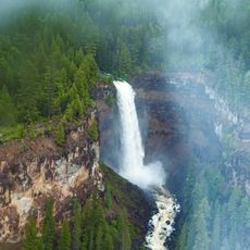
Deadman River
83.6 km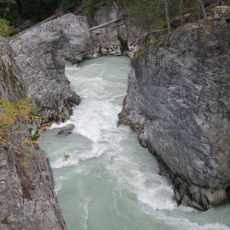
Green River
83.7 km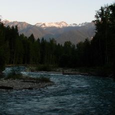
Birkenhead River
63.4 km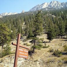
Marble Canyon Provincial Park
24.7 km
Skihist Provincial Park
52 km
Miyazaki House
4.7 km
Bridge of the Twenty-Three Camels
3.8 km
Stein River
43.3 km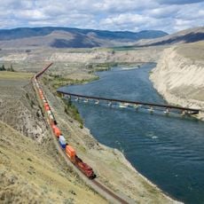
Juniper Beach Provincial Park
57.6 km
Bridge River Rapids
9.7 km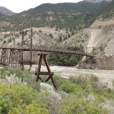
Lillooet Suspension Bridge
5.1 km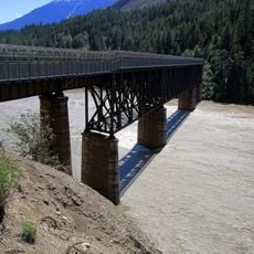
Lytton CNR Fraser Bridge
53.9 km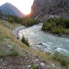
Seton River
17.1 km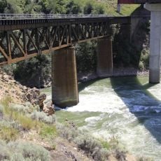
Lytton CNR Thompson Bridge
52.7 km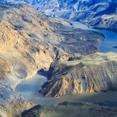
French Bar Canyon
63.7 kmReviews
Visited this place? Tap the stars to rate it and share your experience / photos with the community! Try now! You can cancel it anytime.
Discover hidden gems everywhere you go!
From secret cafés to breathtaking viewpoints, skip the crowded tourist spots and find places that match your style. Our app makes it easy with voice search, smart filtering, route optimization, and insider tips from travelers worldwide. Download now for the complete mobile experience.

A unique approach to discovering new places❞
— Le Figaro
All the places worth exploring❞
— France Info
A tailor-made excursion in just a few clicks❞
— 20 Minutes